JAMESTOWN – High pressure continues to dominate our weather for today but there is the chance for a few snow flurries throughout the afternoon.
Some lake snow showers will come our way tomorrow as a weak Cold front moves through. Not expecting a big deal here; likely around an inch for most areas across the Southern Tier.

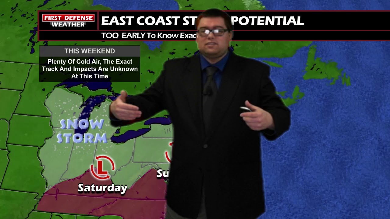
The bigger story will be the weekend. Potential still exists for a storm system that will ride through the Ohio River Valley and move up the East Coast.
Because the storm has not even developed yet, there are still many questions in terms of the track and exact impacts we could see out of it. Early signal suggest that could be a high-impact event but as we know, anything can happen between now and then.

The one thing we are very certain on is this weekend will have the coldest air we’ve seen so far this winter, thanks to a deep tough in the Midwest. Troughing can often equate to colder air due to the Jet Stream being allowed to go up into Canada and bring Arctic air along with it.
The winds will likely come up with the presence of that system, potentially leading so sub-zero wind chills over the weekend.

We will keep you updated with all the latest information as we continue to examine new data throughout the week.
WNYNewsNow is a proud Ambassador for the NOAA Weather-Ready Nation program.
![]()


Leave a Reply