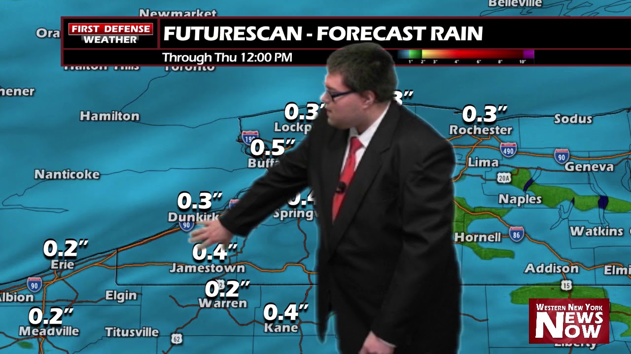
JAMESTOWN – Rain will continue across the area today and tomorrow with milder temperatures. However, things will be changing towards week’s end.
Freezing rain has been falling across Western New York early today, mainly in areas northward thanks to a temperature gradient. Areas near the state line have been above freezing much of the day, leading to a mostly rain event there while spots northward have been struggling to hit above 32-degrees, allowing precipitation that falls to freeze on contact.

We have already gotten in numerous ice accumulation reports from the National Weather Service, with most spots ranging from a few hundredths of an inch to over a quarter inch near Buffalo.
The good news as is the milder air continues to filter in from south to north today, all of the sleet and freezing rain will changeover to just plain rain showers.
A big change is on the way for Friday and into the weekend. A cold front will move through late Thursday, dropping temps back down into the 30s and 20s for the weekend.

It will also become windy on Friday as well as strong Northwest winds dive across the area behind the front. Wind gusts could reach upwards of 50 MPH so Wind Advisories may be needed for Friday. We’ll keep you updated if and when those are issued.
WNYNewsNow is a proud Ambassador for the NOAA Weather-Ready Nation program.
![]()


Leave a Reply