JAMESTOWN – Coming off a rather mid and dry Monday, rain has returned for Tuesday in scattered form with cooler temperatures for today.
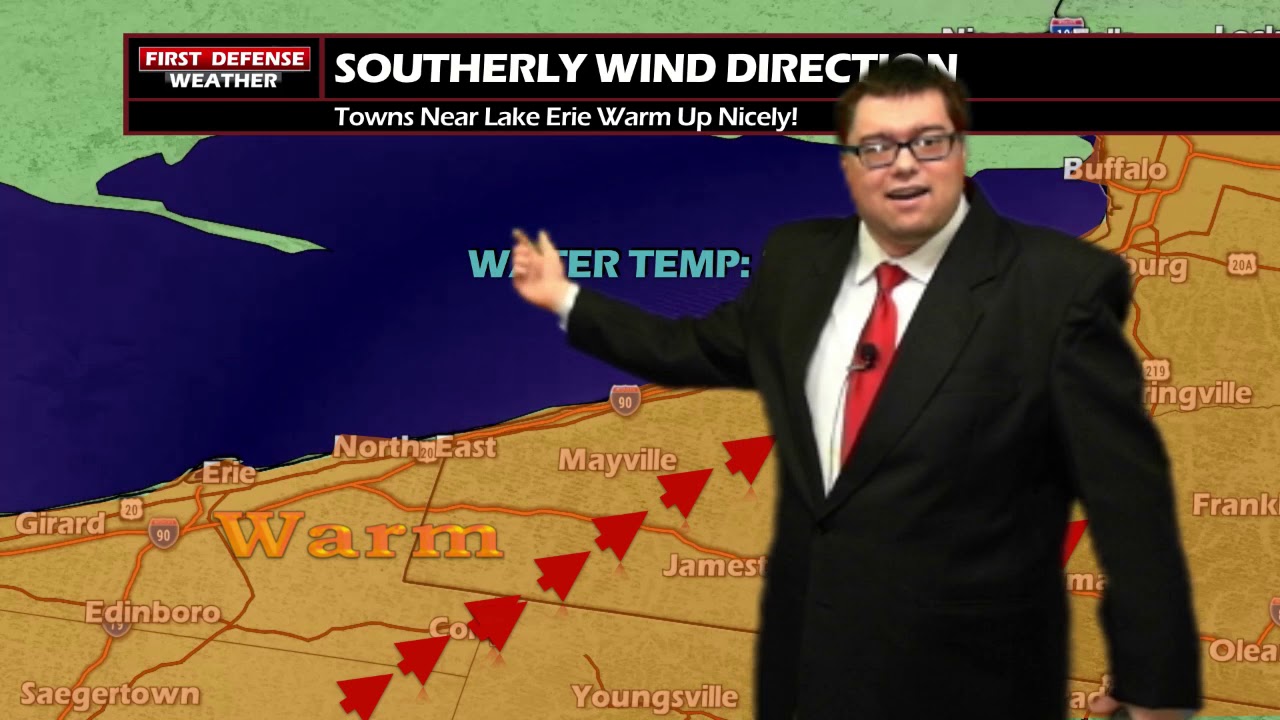
A Cold front moving through the region is keeping temperatures below average down into the upper 40’s into the mid 50’s with lots of cloud cover.
For tonight, the area can expect temperatures to drop into the upper 30’s and lower 40’s. The lower temperatures and lighter winds will help produce patchy fog near the Lake Erie shoreline and river valley areas.
There is a chance for heavy rain Thursday and Friday. Some of the rain could lead to flooding. Projected rain totals, however, won’t be available until Wednesday.

WNYNewsNow is a proud Ambassador for the NOAA Weather-Ready Nation program.
![]()


Leave a Reply