JAMESTOWN – Another dry day is on tap for Western New York with warmer temperatures however some rain will be making a return through mid week.
Temps today will at least make it back into the 60’s for most areas with some spots well inland possibly spiking into the Lower 70’s. That is still below average but much warmer than yesterday (official high in Jamestown on Monday was 57 degrees).
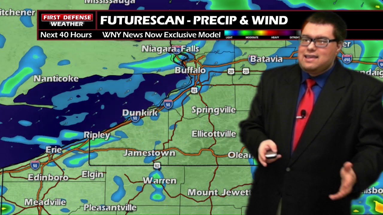
Rain showers will develop overnight tonight as a Low moves through the upper Great Lakes. The rain coverage will be scattered in nature wand will not be widespread. Expect pocket of on-again, off-again showers.
Scattered showers will continue into Wednesday with a few pockets of embedded thunderstorms at times in the afternoon. Much the same, the rain will not an all-day event with pockets of dry time in between. No severe weather problems are expected.
The majority of the day on Thursday will be dry but some scattered showers are possible in the morning. Otherwise, partly sunny with highs in the upper 70’s.
The humidity will also be on the rise during this time frame as well. Dew Point values will be in the lower to mid 60’s, adding that noticeable “stick” to the air.
Friday through the weekend will be nice and dry with a good supply of sunshine each day and temps in the mid to upper 70’s.

WNYNewsNow is a proud Ambassador for the NOAA Weather-Ready Nation program.
![]()


Leave a Reply