JAMESTOWN – Rain showers have made a stark return to the area once again with temperatures well below average for this time of the year and that pattern will not break anytime soon.
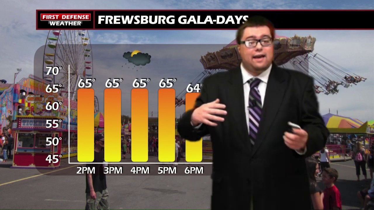
Throughout the afternoon, scattered to widespread rain showers will redevelop across the region. There is the chance for a couple embedded thunderstorms but we do not expect any severe weather. Temperatures will be nearly 10 degrees below average in the lower to mid 60’s.
Rain will continue through the night and last throughout the morning hours on Friday. All of the rain should taper off by the afternoon hours. We may even sneak in a couple peaks of sunshine before the end of the day but temps will not recover much; still in the mid to upper 60’s for highs.
Another system will move towards the region over the weekend and bring another chance for showers and thunderstorms Saturday and Sunday. The most widespread rain of this system will be Saturday night and early Sunday.
Temperatures will rebound back into the 70’s next week with a chance for showers nearly each and every day. However, neither day will be a total washout with periods of dry time in between.
WNYNewsNow is a proud Ambassador for the NOAA Weather-Ready Nation program.
![]()


Leave a Reply