JAMESTOWN – After a fairly quiet, although cloudy Wednesday weather wise, Halloween is shaping up to be a washout. As the calendar flips into November, some of the coldest air of the season will be ushered in, allowing for the possibility of a few wet snow showers by the weekend.
Wednesday can be considered the calm before the storm. Today will be rather cloudy with a chance of a few afternoon rain showers possible.
The socked in cloud cover will keep temperatures in the mid to upper 50’s through the day with a light northeast wind.
Tonight will continue to see cloudy skies with a few showers possible. Temperatures not moving much over night; lower to mid 50’s.
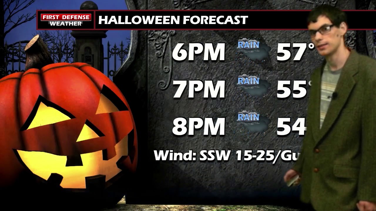
As in years past, Halloween is shaping up to be a gloomy day. Rain, heavy at times will be the theme of the day. Temperatures will be in the lower 60’s. Winds will begin to tick up as the afternoon progresses.
Trick or Treaters will needing a rain jacket with widespread rain showers through the evening. It will be a bit breezy with wind gust possibly up to 30 or 35 MPH at times.

The National Weather Service maintains the High Wind Watch, which will go into effect Thursday evening and last until Friday evening.

Current data suggests wind gusts could reach up to 60 MPH, with the strongest winds near the Lake Erie Shoreline.

As this potent Low pressure moves off to the northwest on Friday, it will drag in some of the coldest air we have yet to see this year as the cold air wraps around the back edge of the system.
This could lead to some spots seeing the first snowflakes of the year Temperatures on Friday will hover near 40, with a few rain and yes snow showers possible early on. It will begin to dry out in the afternoon and continue to be breezy before the winds die down Friday afternoon.
Right now, the weekend is looking 50/50. Saturday will see partly sunny skies with a slight chance of a rain or snow shower and temperatures in the upper 40’s to near 50. While Sunday will see a mixture of rain and snow showers, with temperatures well below average in the mid to upper 30’s.

WNYNewsNow is a proud Ambassador for the NOAA Weather-Ready Nation program.
![]()


Leave a Reply