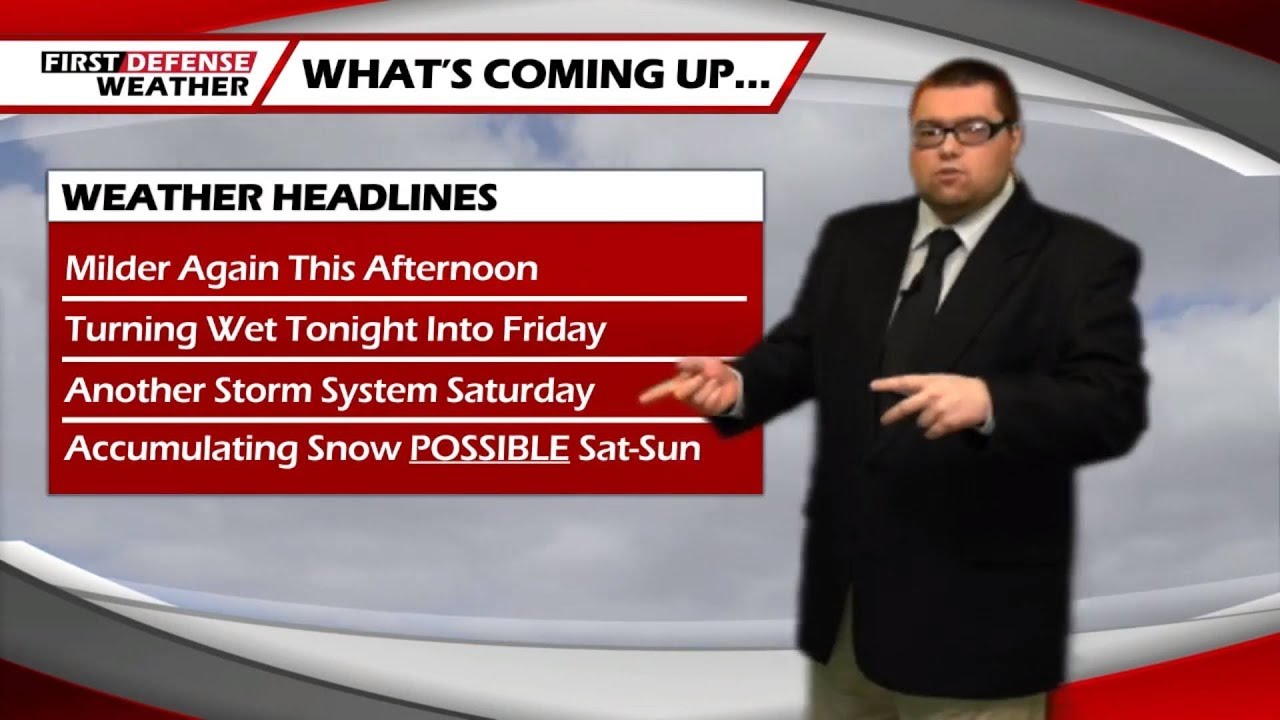
JAMESTOWN – After a rather sunny start to the day, clouds have thickened up from west to east today but the rest of the day will stay dry. We’ll see some rain developing tonight and lasting through Friday before another system approaches for the weekend with colder air and potentially some area-wide snow.
The cloud cover will continue to increase from west to east through the afternoon. There will also a stiff south to southwest breeze around 7 to 18 MPH and gusts near 30 MPH at times. High temp range 41 on the hills to 48 lower elevations.
This evening will start dry but rain showers will advance in coverage overnight with a storm sneaking by to the south. There is a chance for the showers to evolve into a steady rain by morning, especially near the state line southward into northern Pennsylvania. Morning lows 37 to 43.
Widespread rain early in the day on Friday will taper into a few leftover showers for the afternoon. There may be a few odd breaks in the cloud cover at times in the afternoon but do not expect much in the sunshine department. Highs 39 to 46.
Another deep storm system will scoot by close to the region Friday night. Precipitation will start as rain overnight Friday, mixing in with a few snow showers early on Saturday, before changing over once more to all snow in the afternoon as colder air filters in.
Widespread accumulating snow will be likely Saturday through Monday but exact totals are still a bit in question. We do think a few inches of area-wide snow are possible by Sunday. However, as the wind direction shrifts later Sunday, colder air will be moving over the virtually ice-free water of Lake Erie, potentially adding excess moisture into the storm with some lake enhancement.
As we often talk about, even as good as the computer forecast models are today, they still no not pickup lake enhancement moisture very well due to it’s complicated and localized nature. Where the enhancement does occur, that could easily bring a couple more additional inches in spots, mainly along the higher terrain.

Next week turns colder with chances for localized lake effect snow Tuesday and Wednesday with highs barley reaching 30 by the middle of the week.
WNYNewsNow is a proud Ambassador for the NOAA Weather-Ready Nation program.
![]()


Leave a Reply