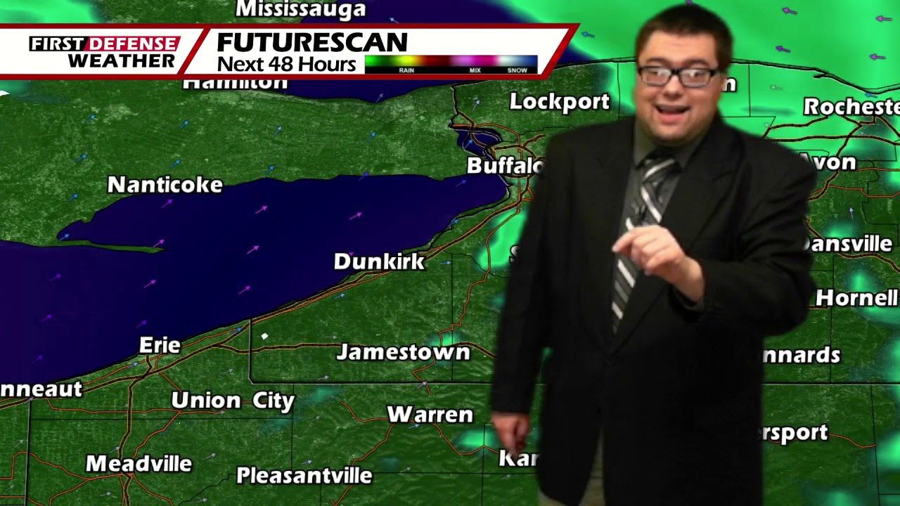
JAMESTOWN – As we have been discussing throughout much of this week, another storm system will move close to the region over the weekend and provide a rather slushy accumulation of snow and sleet. Much of next week will be spent above average once again.
Through the afternoon today, the cloud cover will prevail. There may be a couple spotty showers but the majority of the rain will arrive until later in the day towards sunset. High temps will range 38 on the hills to 47 near the Lake Erie shoreline with a south wind.
Widespread rain will continue tonight and with the milder air out advance of the main storm system, temperatures will not dip off very much. Upper 30’s to mid 40’s will do it across much of the area. The wind will also pick up as well with gusts possibly near 40 MPH at times.
As we head into Saturday, there will be the potential for wet snow and sleet to mix in with the rain, mainly eastward into Cattaraugus and Allegany Counties. With that said, we won’t rule out the potential for some of that wintry mix to meander its way into the western-most areas. Highs 34 to 42.
As colder air wraps around the back edge of the departing Low as it moves east of us into New England, we will transition over to all snow Saturday night into Sunday. While not a guarantee, there could be some limited lake enhancement with added moisture coming off Lake Erie. Should that indeed occur, that could bump up totals along the hiller terrain by a couple of inches.
We may actually turn back into a brief window of wintry mix later on Sunday before changing back one again to snow showers for Sunday night through Monday but again, not guaranteed.
While most of the accumulation will be rather sloppy, we could add up 4 or 5 inches on the hills, maybe upwards of 7 or 8 inches if there is moisture input from the lake. The lower elevations will likely only see couple inches with the lest amounts of snow in there areas that receive the sleet.

Besides a small chance for a spotty shower on Tuesday, much of the next week looks to be dry with temperatures rearing back into mid to upper 30’s.

WNYNewsNow is a proud Ambassador for the NOAA Weather-Ready Nation program.
![]()


Leave a Reply