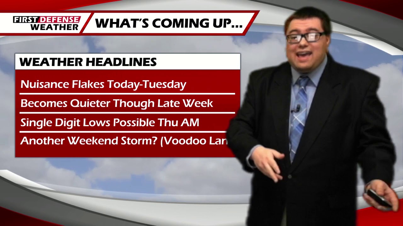
JAMESTOWN – While the majority of the snow showers have occurred this morning, there will be the chance for some light snow showers though the afternoon today and continuing through Tuesday. A much calmer pattern will start to take shape as we go throughout the week ahead of yet another potential weekend storm.
On and off scattered snow showers will take us through the day today in light nature. Any accumulation will be very minor, less than an inch in most spots through the afternoon. Highs will be near the averages for this time of the year; 28 to 37 with a west-northwest wind 10 t0 15 MPH.
Light snow showers will continue tonight with once again, an inch or less of overall accumulation. Morning lows 24 to 33 with a northwest wind 7 to 14 MPH.
Tomorrow will be a near repeat of today; light scattered snow showers with accumulations an inch or less with the most amount of accumulation along the hills of the Southern Tier and Northwestern Pennsylvania. Highs 27 to 34.
We will see the return of High pressure on Wednesday but with a northerly wind aloft, that will keep our highs down into the lower to mid 20’s through the day. That same northerly wind will also keep some cloud cover around the region.
As skies will clear overnight on Wednesday and a cold snowpack, lows will likely drop into the mid teens near the Lake Erie shoreline down to the mid single digits inland.
Thursday will start rather cold but we will rebound back into he lower 30’s with the aid of partial sunshine through the day.
Looking ahead into “Voodoo Land”, global forecast models have been pointing to another storm possibly impacting the region over the weekend. While we are just too far out to know any exact details as the track of this storm is still very much in question, we are thinking that at this point in time. Saturday could be dry but precipitation from the system will start to filter in Saturday night into Sunday.

The exact precipitation we could see out of this is also very much in question. We will continue to monitor the newest data and make adjustments as we get a better handle of the storm track in relation to Western New York.
WNYNewsNow is a proud Ambassador for the NOAA Weather-Ready Nation program.
![]()


Leave a Reply