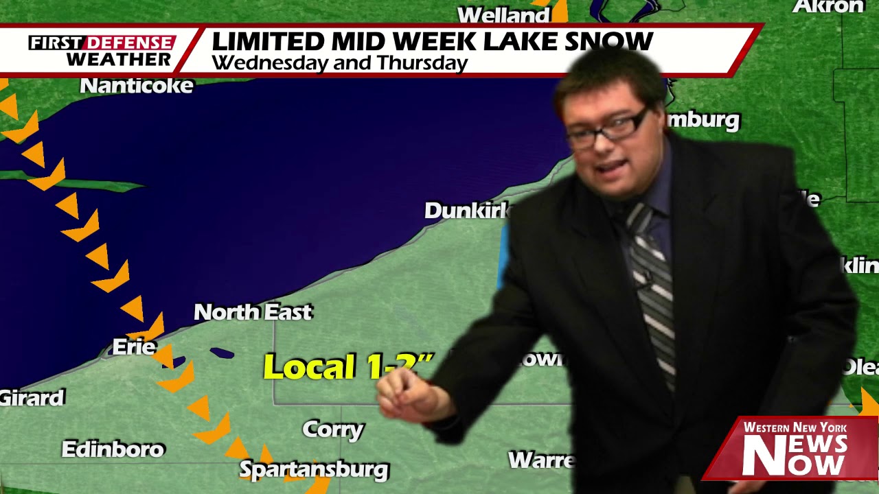
JAMESTOWN – The next few days will see some lake effect snow showers across parts of the region. Another short blast of colder arrives for Thursday, before high pressure builds in for the weekend. This will warm up the temperatures and provide for plenty of weekend sunshine.
For Today, mostly cloudy with a few snow showers possible. Temperatures in the upper 20’s. Snow fall accumulations of less then one inch.
Tonight will continue with mostly cloudy skies with a few snow showers. Snowfall accumulations of 1-2 inches possible. Temperatures dropping back to the upper teens.

Thursday will be much of the same all be it colder. Mostly cloudy, a few snow showers, with highs struggling to make it out of the upper teens.
High Pressure begins to build in to the region on Friday. Partly cloudy with highs near 30.
Both weekend days are looking good. Plenty of sunshine both days with temperatures near 40 on Saturday and the lower 40’s on Sunday.

As next week rolls in, high pressure begins to move out of the area returning to unsettled weather. Precipitation type is still yet to be determined.
WNYNewsNow is a proud Ambassador for the NOAA Weather-Ready Nation program.
![]()


Leave a Reply