App users, tap here to watch video.
JAMESTOWN – Winter won’t release its grip quite yet as scattered snow shower continue across the region with cold temperatures. A slight rebound will occur later in the week into the weekend.
Snow showers have been occurring from time to time this morning and those will continue throughout the afternoon. While there should be little accumulation, some spots along the hills could see possibly an inch. The wind is up with a healthy west to northwest breeze that could gust up to 40 MPH. Temperatures will be falling through the day as well; ending the day in the lower to mid 30’s.
Scattered snow showers will continue into tonight with an inch of less of overall accumulation. The winds will still be an issue with gusts possibly up to 35 MPH at times. Lows 25 valleys, 30 lakeshore.
A few scattered snow showers will be possible through the day with some partial sunshine at times. It will stay remain cold with highs 33 to 39.
Another storm system moving through the midwest will track south of our region Wednesday night and Thursday. Rain and snow showers will be possible before changing over to all rain for the afternoon hours on Thursday. Highs near 50.
We will be left with a few leftover rain showers on Friday with partial sun and highs in the lower 50’s.
Like clockwork, as one storm moves out another follows right behind for the weekend. Computer models have been indicating a low moving south and east of Western New York which may regenerate off the Atlantic east coast. Widespread rain showers will be possible both days with the “warmest” day on Saturday before colder air filters back in on Sunday.

As the storm moves away from the region, a few leftover showers are possible into Monday but some clearing may develop in the afternoon as an area of high pressure builds back into the Northeast. Highs in the mid 40’s.
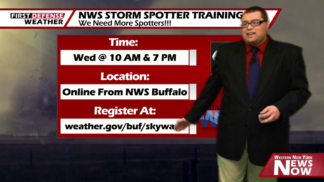
Don’t forget; the National Weather Service in Buffalo has two online storm spotter training classes scheduled for tomorrow Wednesday, April 22. The first class will be held at 10 a.m. while the other will be at 7 p.m. You only need to attend one class to become trained.

Storm spotters a very crucial to the warning process as spotters relay the ground truth and we are always in need of more of them. The class runs about an hour and half and participants will learn the basics of storm structure, what and how to report.
Anybody who has an interest in weather, science, or just wants to help us make the warning process better are encouraged to attend. The classes are free and you can sign up at http://www.weather.gov/buf/skywarn.
WNYNewsNow is a proud Ambassador for the NOAA Weather-Ready Nation program.
![]()


Leave a Reply