App users, tap here to watch video
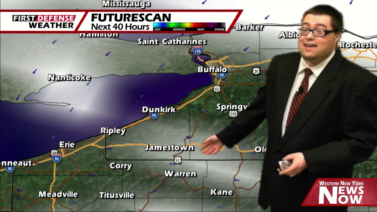
JAMESTOWN – High pressure is always your fair weather pal and this week is no exception with temperatures becoming almost summer-like over the holiday weekend into early next week.
A storm system out to our west is being “Rex Blocked” by an incoming area of High pressure sliding down into Western New York from Ontario. As the precipitation hits that wall of dry sinking air, the rain will be ripped apart before it reaches us.
However, we still have some stubborn cloudiness from time to time to deal with through the afternoon. Highs will range 66 on the hills to 74 near the Lake Erie shoreline. East wind 10 to 15 MPH.
Clouds will still be with us through the overnight, leading to overall mostly cloudy skies. We might see some fog setup by the wee morning hours mainly in the Allegheny River Valley. It will not be quite as mild as recent nights. Lows 42 valleys, 47 lakeshore.
After early morning clouds thin, much of the area should be in bright sunshine with only a few high clouds near the state line into Northwestern Pennsylvania. Highs 67 to 75.
Thursday will be another suntastic day with once again maybe only a few high clouds from time to time. Highs in the lower 70’s.

Heading into the Memorial Day weekend, the Rex Block of High pressure will start to fall apart, allowing for the potential for a couple isolated to spotty showers to pop up across the Southern Tier Friday through Monday. Temperatures will continue to climb through the 70’s before possibly even reaching 80 come Memorial Day.
WNYNewsNow is a proud Ambassador for the NOAA Weather-Ready Nation program.
![]()


Leave a Reply