App users, tap here to watch video
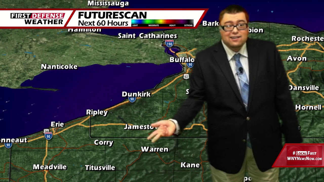
JAMESTOWN – After a couple rounds of showers and thunderstorms that moved through last night and early this morning, things have quieted down for this afternoon but the humidity will be ticking up throughout the remainder of the week.
There still could be a spotty shower or thundershower early this afternoon otherwise sun and clouds will make us through the rest of the day. Due to a stiff westerly breeze, that will keep the immediate Lake Erie shoreline a bit cooler. Highs 68 waterfront, 77 inland.
Partly cloudy tonight with some areas of fog developing overnight. Remaining mild and muggy tonight. Lows 57 valleys, 64 lakeshore.
Tomorrow will be mostly sunny but milder and still muggy. Highs 77 to 84.
With even higher amounts of humidity in the air on Friday, that will be fuel for a few widely-spaced showers and thunderstorms through the afternoon and early evening. Keep in mind, these kinds of “popcorn” storm will form at a random during the peak heating hours of the day. Not everyone will see a shower or storm and it won’t be a washout either. Highs in the mid 80’s.

Rain chances have been upped slightly for Saturday with partial sunshine at times. Highs in the mid 70’s.
High pressure returns over the second half of the weekend, leading to a good supply of sunshine through early next week. After a brief dip in temperatures, we’ll be warming back up into the lower 80’s once again by next Tuesday.
WNYNewsNow is a proud Ambassador for the NOAA Weather-Ready Nation program.
![]()


Leave a Reply