App users, tap here to watch video
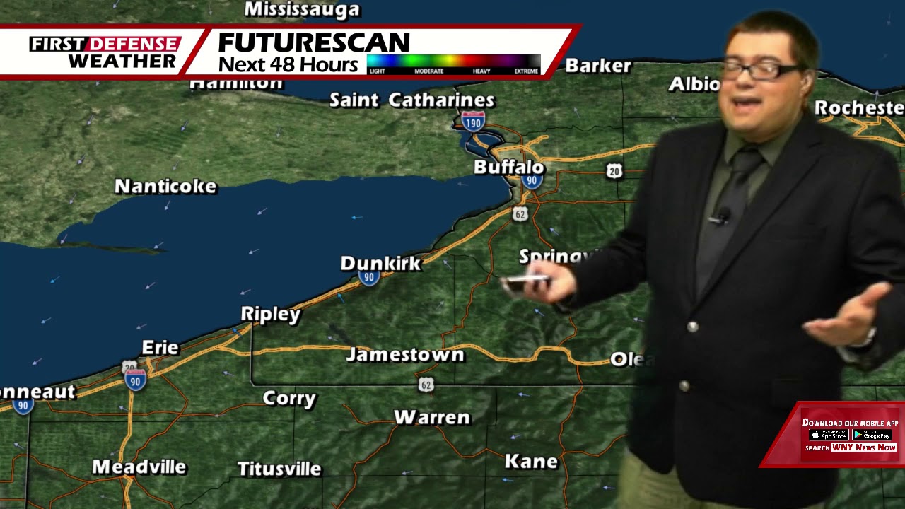
JAMESTOWN – High pressure parked over the region will continue to give us dry and seasonable weather right through much of this week. However, summer heat and humidity will be making a return by the weekend.
The cloud cover should part this evening leading to another mainly clear night. Lows 50 in the valleys, 57 at the Lake Erie shoreline. Some upper 40’s are possible in the deepest valleys of the Southern Tier by sunrise tomorrow morning.
There should be more sunshine to go around on Tuesday with temperatures a little warmer. Highs 71 to 79.
Sunshine will continue into Wednesday, Thursday and Friday with temperatures warming up into the upper 70’s to lower 80’s. Along with that warmup come the return of some humidity. Dew points will slowly start to climb into the lower 60’s during this timeframe, bringing some of that dreaded stick to the air once again.
While Saturday should be mainly dry, it will be warm and humid with highs in the mid 80’s.

With a very sultry airmass finally over top of the region on Sunday as the blocking high starts to break down, scattered afternoon and evening showers and thunderstorms will be possible. Understand, these types of storms are considered to be “popcorn storms”; popping in random spot drung the peak heating hours of the day.
WNYNewsNow is a proud Ambassador for the NOAA Weather-Ready Nation program.
![]()


Leave a Reply