App users, tap here to watch video
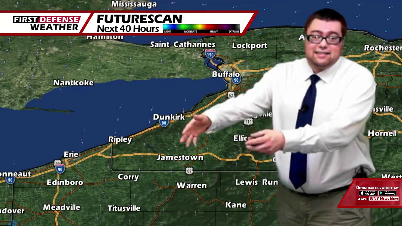
JAMESTOWN – We’re past the peek of the hottest and most humid weather with some brief relief coming our way over the weekend.
The heat ridge that has been parked over much of the northeast is starting to break down which will allow for some limited relief to head in over the weekend. However, looking down the road, another heat wave will be likely later next week.
Today will be another rinse and repeat day with lots of sunshine and scattered afternoon showers and storms. The coverage of the rain could be a little bit more widespread than in recent days. It will still be very warm and humid. Highs 85 at the Lake Erie shoreline to 93 inland.
Showers and storms will continue this evening becoming less numerous overnight with partly cloudy intervals. Warm and muggy. Lows 63 to 72.
As a cold front lurks back to our west, showers and storms will flair out ahead of the frontal passage. While the day will not be a total scrub, periods of rain will be likely throughout the day. A bit cooler and less humid. Highs 76 to 84.
There will still be a few showers and storms on Sunday with highs in the upper 70’s.

Heading into next week, another heat bubble looks like it will take shape bringing us a second wave of heat and humidity mid to to late week. Highs will soar back into the upper 80’s with near tropical humidity once again.
WNYNewsNow is a proud Ambassador for the NOAA Weather-Ready Nation program.
![]()


Leave a Reply