App users, tap here to watch video
JAMESTOWN – A shower could be possible to start the day tomorrow but then its back to the fall-like air throughout the rest of the week into early next week.
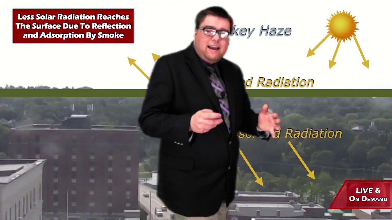
Hazy skies will continue thanks to the aid of smoke 10 to 20,000 feet up from wildfires out west. A weak Cold front will sweep through tonight bringing in a few more clouds and a chance for a couple showers early on Thursday.
Early clearing will bring in a few clouds overnight. Not quite as chilly as recent nights. Lows 53 in the valleys, 59 at the Lake Erie shoreline.
After a weak Cold front passes through, a couple isolated showers could spark up in the morning. More clouds will be hanging around throughout the afternoon. Highs 60 to 68.
As the winds shift back around the north and northwest, much cooler air will be filtered in on Friday. Highs will drop into the upper 50’s with a lot of sunshine to help make it look and feel. bit warmer.

The sunshine will continue throughout the weekend a very autumn feel as highs remain well below average in the upper 50’s to lower 60’s.
The dry weather pattern will continue into early next week with highs warming up slightly into the mid 60’s.
WNYNewsNow is a proud Ambassador for the NOAA Weather-Ready Nation program.
![]()


Leave a Reply