App users, tap here to watch video
JAMESTOWN – As advertised, October-like air has pushed in from the north and will lead to areas of frost developing during the nighttime hours over the next couple of days.
High pressure has built in from the north after the passage of a weak cold front Thursday. With a northerly wind flow aloft, waves of much cooler air is being dragged into the Southern Tier which will lead to areas of frost developing overnight with clearing skies. Temperatures will gradually recover by the middle of next week.
The National Weather Service has issue a Frost Advisory for Chautauqua and Warren Counties effective at midnight tonight until 8 a.m. tomorrow morning. There is also a Freeze Warning for Cattaraugus County effective until 8 a.m. as well.

With lows dropping into the lower to mid 30s tonight, developing frost will harm or even kill temperature sensitive plants and vegetation. Make sure you bring them indoors or cover them up to prevent damage.
Mainly clear and starlit skies tonight with patchy to widespread frost developing after midnight inland away from the lakeshore. Lows 31 in the deepest valleys, 44 at the Lake Erie shoreline.
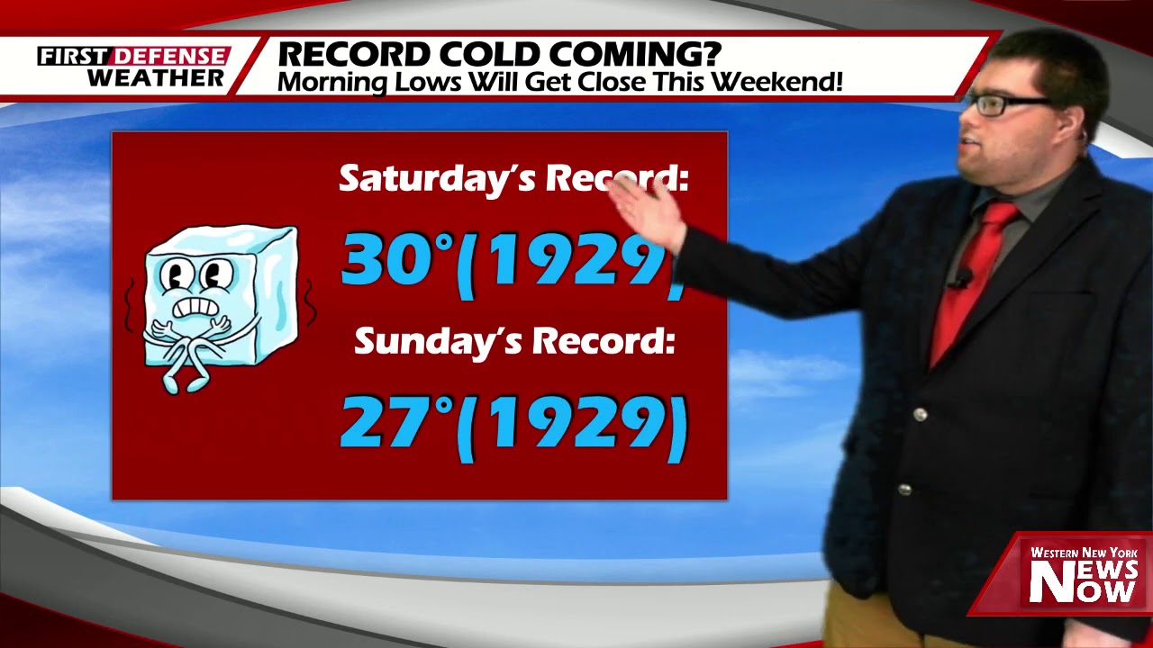
Lots of sunshine will take us through the day on Saturday which will help to make it look and feel a bit warmer. Highs 54 to 62.
Sunshine will be out in the full force on Sunday but with a chilly wind. Highs 55 to 64.
We’ll continue basking in the sunshine on Monday with temperature nudging up a little bit in the lower to mid 60’s.
As we officially start Fall on Tuesday, we’ll begin to see a shift in the wind flow which will bring somewhat warmer air back into the region. Highs will be in the upper 60’s on Tuesday, going into the lower 70’s for both Wednesday and Thursday of next week.

With another trough crosses the region, there could be a couple showers later in the week mainly late Thursday afternoon into Friday. However, we’re airing on the drier side for now until confidence increases on the amount of moisture this feature will have to work with.
WNYNewsNow is a proud Ambassador for the NOAA Weather-Ready Nation program.
![]()


Leave a Reply