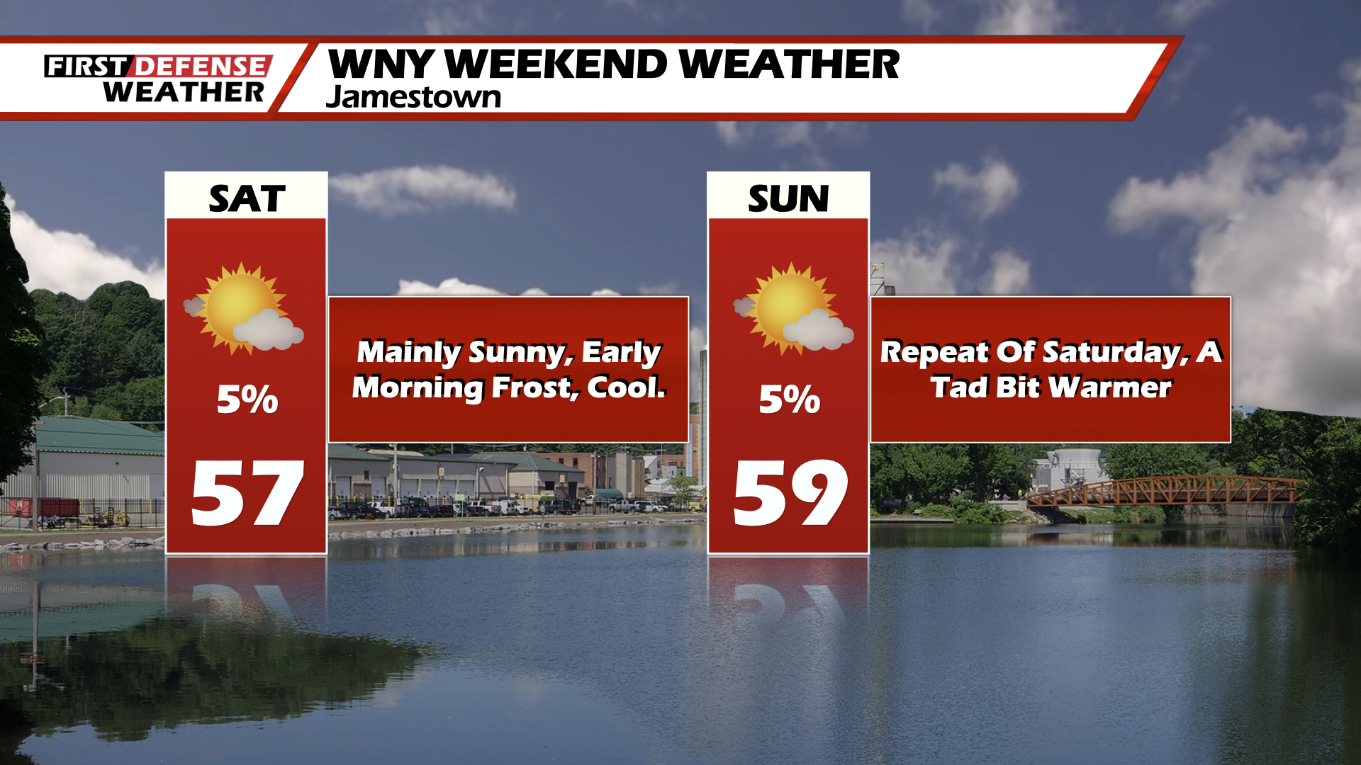
JAMESTOWN – High Pressure will firmly be in control for the weekend, although temperatures will be well below average.
Saturday and Sunday will feature plenty of sunshine both days. However temperatures both days will struggle to make it out of the upper-50’s. Some spots may make it into the low-60’s.
For Saturday night, mainly clear skies will allow temperatures to plumit to the low-30’s. Another round of frost and freeze warnings are likely. If you have plants outside it will be best to bring them in or cover them up.
Dry weather will remain pretty much in control for much of the upcoming week. This means lots of sunshine. Temperatures will be on a slow incline with highs Monday and Tuesday in the low to mid-60’s, eventually reaching 70 by mid-week.
The next best chance for rain looks to not arrive until late week around Thursday.
WNYNewsNow is a proud Ambassador for the NOAA Weather-Ready Nation program.
![]()


Leave a Reply