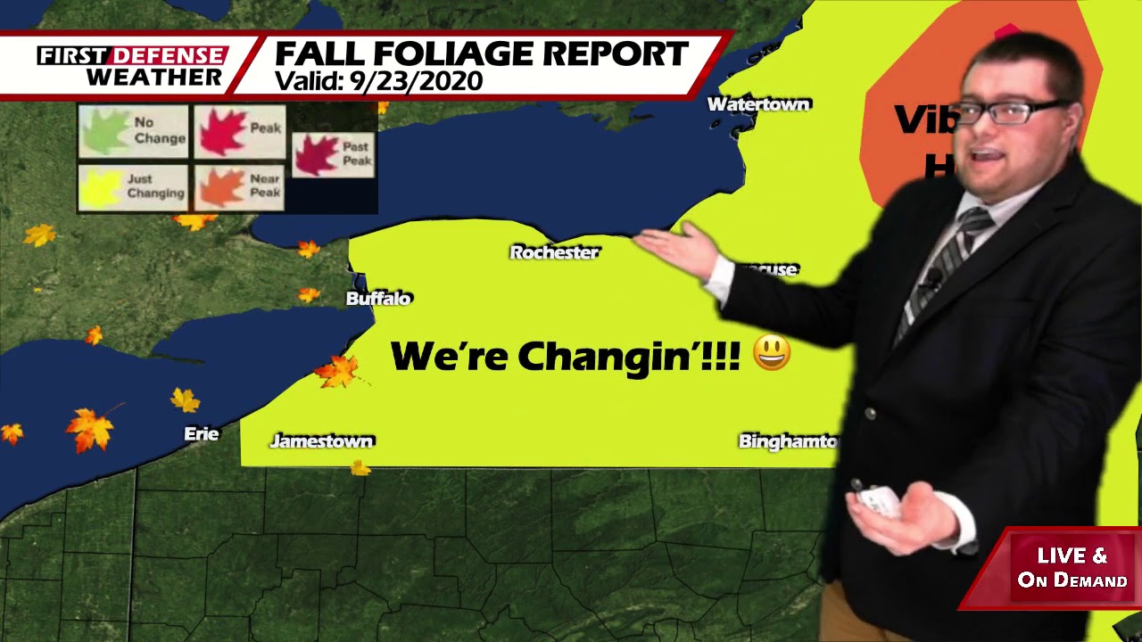
App users, tap here to watch video
JAMESTOWN – We may officially be in fall but naturally warmer air is working its way into the region which will stay with us throughout the next few days.
We’re staying on the overall drier side of an exiting area of high pressure with milder air surging in from the south. We will stay dry right through much of the weekend before a change in the weather pattern will bring in some well-needed rain next week.
Partly to mainly clear skies will take us through tonight with some areas of patchy river valley fog developing after midnight. Lows 47 in the deepest valleys, 59 at the Lake Erie shoreline.
Tomorrow will feature boatloads of sunshine with the temperatures actually budging up a few more degrees. Highs 74 to 83.
We’ll keep the sunshine going in full force on Saturday with highs 72 to 78.
As head into Sunday, an upper-level trough will be digging into the Great Lakes along with an advancing cold front which will trigger off a few showers and rumbles. Newer model guidance has pushed the arrival of frontal passage back until Sunday evening. We have adjusted the forecast for Sunday to reflect that change; now going with partly sunny skies and highs in the upper 70’s.
As the front finally makes it way through, showers will be increasing from west to east Sunday night which will continue into Monday as well. The front will also cooler air back into the region. Highs in the mid 60’s.
Depending on the exact track of a low pressure system passing to our north and west, strong to potentially damaging winds could develop Tuesday and Wednesday. While nothing is set in stone as of yet, this will be something to keep an eye on as we go throughout the next few days.

High temps will also come back into the mid 50’s to lower 60’s by the middle of next week bringing a true fall feel to the region once again.
WNYNewsNow is a proud Ambassador for the NOAA Weather-Ready Nation program.


Leave a Reply