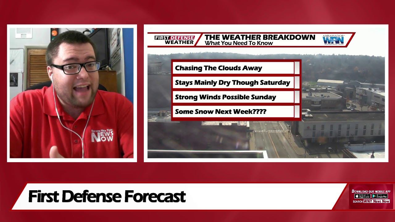
App users, tap here to watch video.
JAMESTOWN – The next couple of days will be uttered with mediocrity but some even colder air will invade the region next week setting the stage for potently wet snow early next week.
High pressure has slid into the Great Lakes which has helped to clear out the cloud cover and bring a return to nice sunshine. A big change will be in store over the second half of the weekend into early next week as a weeping trough digs in which may produce some snow showers at times.
Clear and starlit skies will take us through tonight. A few clouds may come in after midnight. Chilly. Lows 30 in the valleys, 38 at the Lake Erie shoreline.
A great deal of sunshine will take us through Friday while still remaining cool. Highs 43 to 50.
Saturday will be another great day with sunshine in good supply although becoming a bit cooler. Highs 38 to 46.
As a deepening upper-level trough progresses through the northern half of the country, that will drag in much colder air from Canada with a cold front beforehand. Depending on the track of storm system tied to the front, strong wind gusts could be a potential throughout the day on Sunday with scattered to widespread rain showers. Highs near 50.

Once the trough moves into the region, temperatures will fall well below average Monday through Wednesday with the potential for rain and wet snow showers each day. Keep in mind, it is way too early at this time to know if the snow could accumulate. Any snow will be determined on the amount of cold air we’ll have to work with and where it could settle.
Stay tuned over the next few days as we continue to fine tune the forecast.
WNYNewsNow is a proud Ambassador for the NOAA Weather-Ready Nation program.


Leave a Reply