
JAMESTOWN, NEW YORK (WNY NEWS NOW) – High pressure will build in through the weekend and remain in place through much of next week. Dry weather and above normal temperatures will be a common theme during this period.
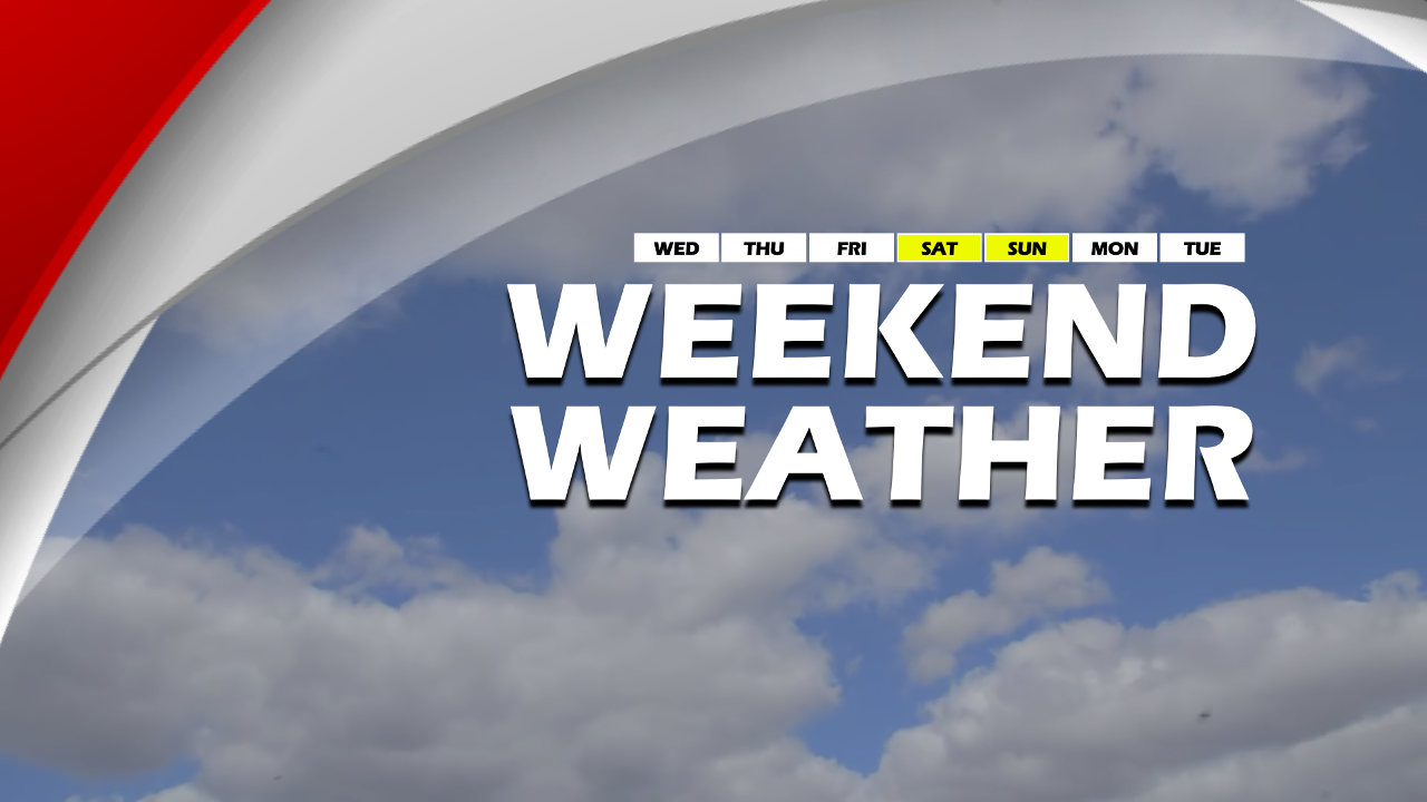
After some early morning clouds/fog Saturday morning, partly sunny skies are expected through the afternoon. Highs will be in the low to mid 70’s.
Partly to mostly sunny skies on Sunday with high temperatures in the mid to upper 70’s.
With quiet and beautiful weather expected this weekend, now would be a good time to take a drive around to see the fall foliage. Most of Western New York has started to change, with parts of the Southern Tier nearing peak colors.

High pressure will continue to maintain Summer like weather through much of next week. Temperatures will be more Summer like with daily highs in the mid to upper 70’s, if not the lower 80’s in some spots.
Overnight lows will generally be in the 50’s inland to the lower 60’s near the Lakeshores.
There are some early indications that a trough may sweep through the region by the end of next week. If this holds true, cooler and more unsettled weather may take hold by next weekend.

WNY News Now’s First Defense Weather team provides local weather coverage for Western New York’s Southern Tier and Northwestern Pennsylvania. Connect with us on social media using the hashtag #MyLocalWx.
WNYNewsNow is a proud Ambassador for the NOAA Weather-Ready Nation program.
![]()


Leave a Reply