JAMESTOWN – A typical early spring-time pattern is back into Western New York with below average temperatures and some moisture.
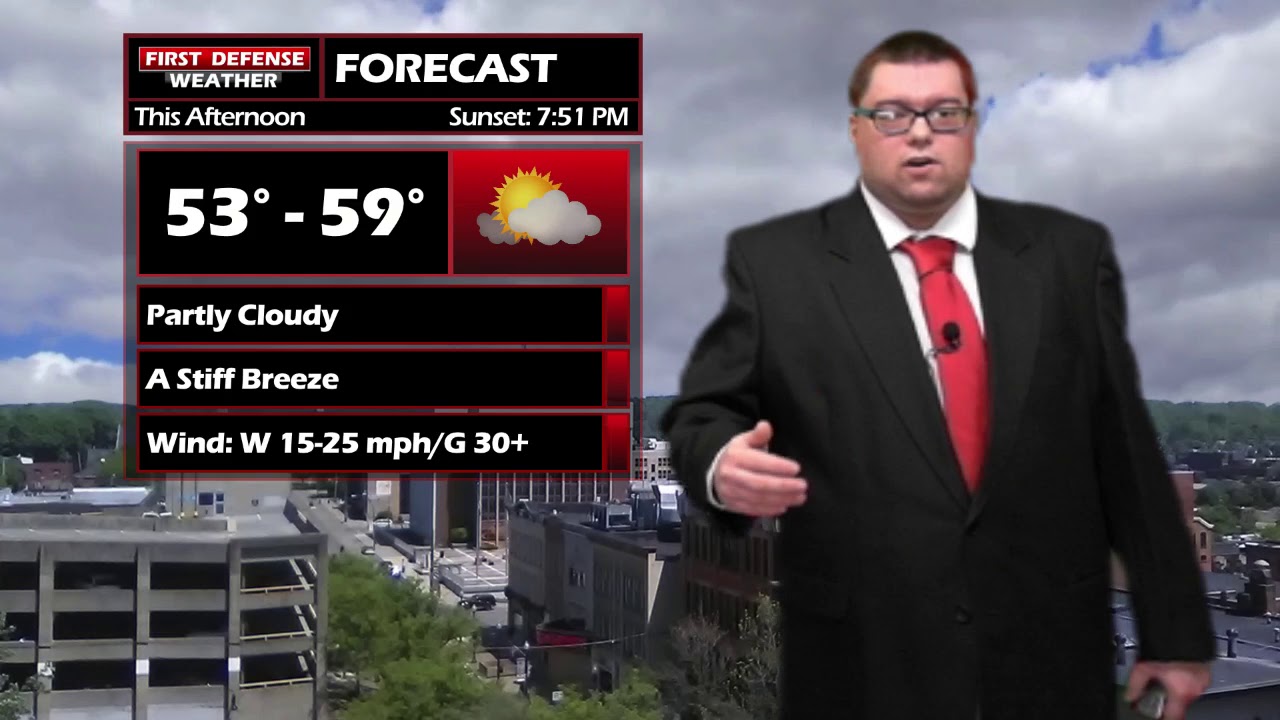
Today will be mainly dry with sun and clouds sharing the sky. There is a stiff breeze coming directly off Lake Erie with gusts topping 30 MPH at times.
A couple rain showers will come our way tonight that will have the potential to mixed with some very wet snow falls early tomorrow morning. Due to the warmer ground temperatures and the wet nature of the snow, any snow that falls will not stick.
Wednesday afternoon is looking mainly dry but chilly with highs back down into the lower to mid 40s.
And approaching Warm front Thursday night will trigger off the the potential for showers and thunderstorms into Friday. The winds will also pick up out ahead of this front, potentially leading to strong or damaging wind gusts.
This time frame will need to be monitored for a potential High Wind Watch with the strongest winds likely along the Lake Erie Shoreline and the Chautauqua Ridge.

Storm Spotter Training: The National Weather Service in Buffalo will be conducting their first ever online training class on Tuesday, May 2 at 7:00 PM. For the online training, you do need to preregister as spots for the online are limited. You can register your spot a http://www.weather.gov/buf/skywarn

Attendees will learn many topics to becoming a trained storm spotter, such as identifying storm structure, basic meteorology relating to severe convection (severe thunderstorms, tornadoes, etc), severe weather safety, and proper reporting techniques.
I encourage everyone to attend a training session; we are in desperate need of more trained spotters. What many people may not know is that spotters actually contribute to the warning process. Remember, Doppler radar looks above the ground; it’s only spotters who see what is happening down at the ground.
WNYNewsNow is a proud Ambassador for the NOAA Weather-Ready Nation program.


Leave a Reply