JAMESTOWN – High pressure has once again taken control over our weather pattern for this Monday but some rain will be coming back into the picture as we head into Tuesday.
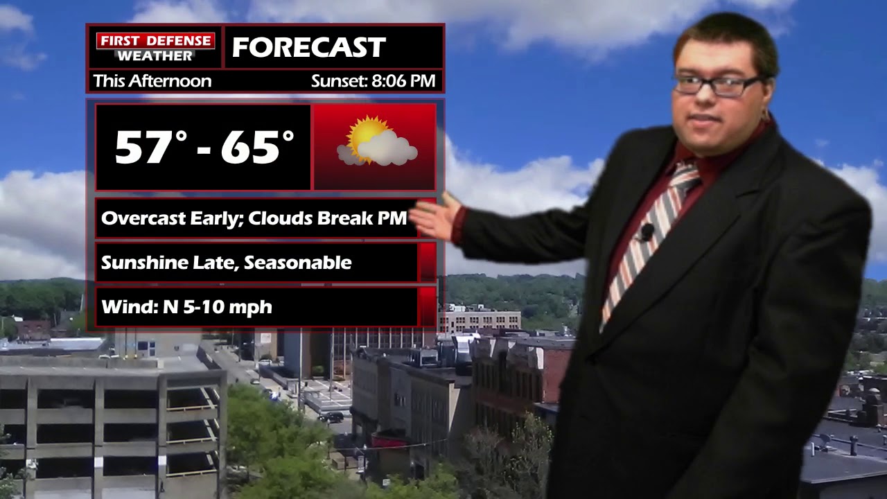
Any clouds we have around will break apart this afternoon leading to partly if not mostly sunny skies with temperatures into the 60s for most areas across Western New York with the exception of the immediate Lake Erie shoreline.
The majority of the day on Tuesday will be rather dry and useable. There maybe a spot shower through the day but the overall chance is rather minimal. The better rain chances will come later in the afternoon where there could be a couple embedded thunderstorms as well. We do not expect any severe weather.
Things begin to dry out Wednesday with mostly sunny skies returning. There is a very small chance of a shower on Thursday but it looks like Thursday will be mainly a useable day.
Rain shower chances increase for Friday, becoming partly sunny again for Saturday with another round of showers possible on Sunday.

Storm Spotter Training: The National Weather Service in Buffalo will be conducting their first ever online training class on Tuesday, May 2 at 7:00 PM. For the online training, you do need to preregister as spots for the online are limited. You can register your spot a http://www.weather.gov/buf/skywarn

Attendees will learn many topics to becoming a trained storm spotter, such as identifying storm structure, basic meteorology relating to severe convection (severe thunderstorms, tornadoes, etc), severe weather safety, and proper reporting techniques.
I encourage everyone to attend a training session; we are in desperate need of more trained spotters. What many people may not know is that spotters actually contribute to the warning process. Remember, Doppler radar looks above the ground; it’s only spotters who see what is happening down at the ground.
WNYNewsNow is a proud Ambassador for the NOAA Weather-Ready Nation program.
![]()


Leave a Reply