JAMESTOWN – Summertime heat and humidity are making their into Western New York throughout the week, bringing with it the chance for showers and thunderstorms through the afternoon.
The NOAA Storm Prediction Center has outlined much of the region under a less than average Marginal Risk (Level 1/5) for severe thunderstorms this afternoon. The main threat should any storm become strong or severe will be damaging winds.

Scattered showers and storms will continue into tonight with a frontal boundary that will be moving in overnight. This boundary will act as a focal point for more showers and storms through the next couple of days.
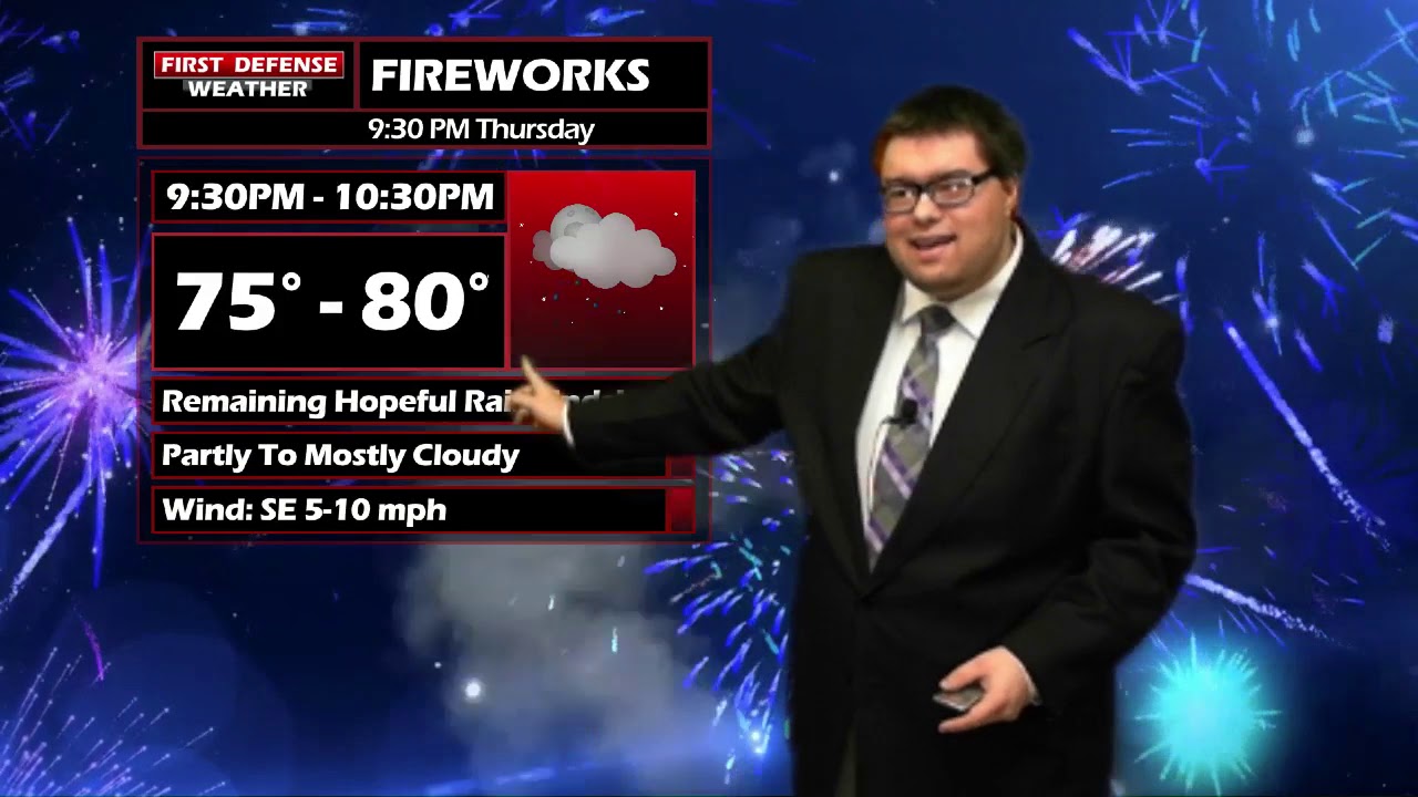
We are still remaining hopeful that we will clear out any storms by fireworks time Thursday night. It will still remain warm and muggy with temps raging from the upper 70’s to lower 80’s by 9 p.m.

WNYNewsNow is a proud Ambassador for the NOAA Weather-Ready Nation program.
![]()


Leave a Reply