JAMESTOWN – A strong Cold front will move through the region on Thursday, bringing with it the chance for showers and thunderstorms that could be strong to severe in the afternoon.
NOAA Storm Prediction Center has outlined the entire Southern Tier and Northwest Pennsylvania under a standard Slight Risk (level 2/5) for severe thunderstorms on Thursday. A line of showers and storms will entire the region around 2 p.m. and move west to east across the area.

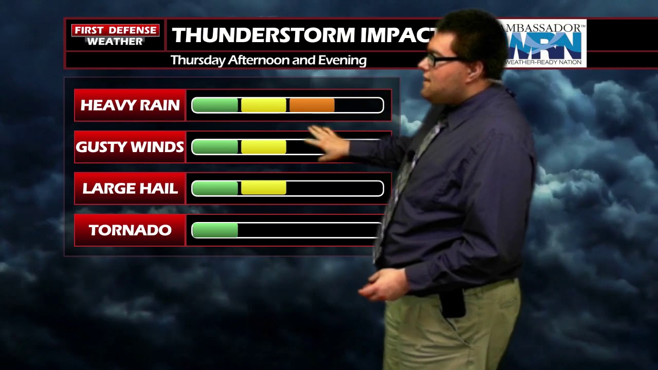
The main threats with any storms that become severe will be damaging winds, heavy rain, and maybe some large. There is a very low risk of an isolated tornado but the overall risk is not zero.

After that front moves through, the temperatures and the humidity will drop significantly. High will be back into the 70’s through early next week with very comfortable humidity.

For Your Information: The Federal Emergency Management Agency (FEMA), in partnership with the Federal Communication Commission will be conducting a national test of the Emergency Broadcast System this afternoon. The test is scheduled to take place over commercial radio and television stations on or around 2:20 p.m. Eastern Daylight Time.

Such national tests are required by the FCC to be conducted once every year in order to verify functionality of the system in case of the event of a national emergency. No action is required during or after the test.
WNYNewsNow is a proud Ambassador for the NOAA Weather-Ready Nation program.
![]()


Leave a Reply