JAMESTOWN – A few rain showers moved through the region this morning with a few more showers possible this afternoon. Temperatures will remain fall-like throughout much of the week.
An area of Low pressure passing south of the region is responsible for the rain we have across the area this afternoon. However, do not expect much in the way of sunshine in between the rain coverage. Clouds will really win this out across much of the Southern Tier. Highs 71 to 78.
As the Low moves east, the rain will taper off late this afternoon and tonight. There still could be a few straggling showers by morning but the majority of the night should be dry with partly to mostly cloudy skies. Morning lows 56 to 64.
Wednesday will be a fabulous weather day with plenty of sunshine, nice temperatures and low humidity. We’ll see the return for a couple scattered showers or storms Thursday afternoon through Friday with a weak disturbance nearby.
Summer heat and humidity will make a return over the weekend through early next week. Temperatures will climb back into the 80’s Saturday through Monday with a small chance each day for a shower or storm.

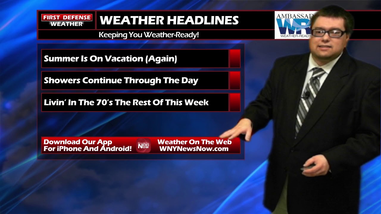
WNYNewsNow is a proud Ambassador for the NOAA Weather-Ready Nation program.
![]()


Leave a Reply