JAMESTOWN – A rather nice afternoon is on tap across the region with seasonable temperatures. A front moving through tonight will spawn some showers and thunderstorms mainly during the overnight hours.
Through the afternoon, clouds and sun will share the sky with highs in the mid to upper 70’s. The humidity has also came up just a tad bit so you may notice a slight “stick” to the air.
The evening hours tonight will be partly cloudy and dry. It is not until after Midnight when we will start to get into some shower and storm activity. Some of these storms could contain heavy downpours at times and maybe some brief gusty winds.
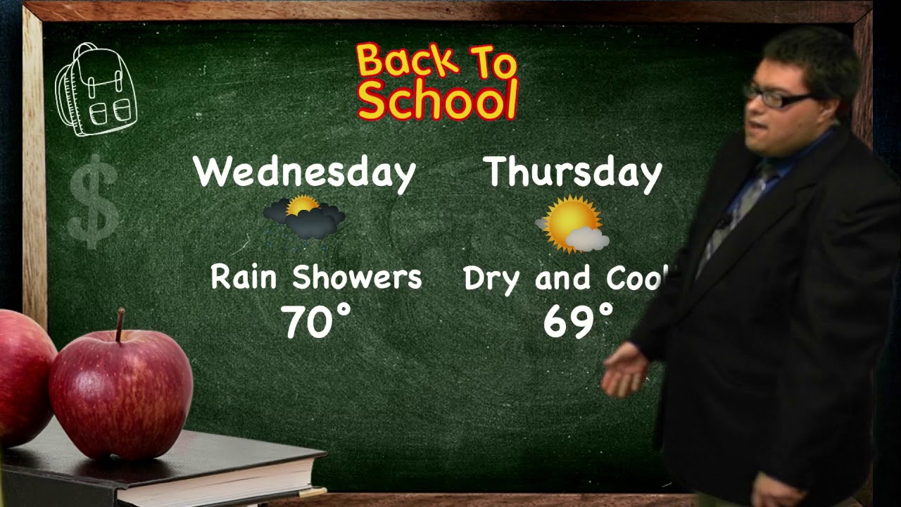
Showers will still be around for the morning commute on Wednesday but will taper off through the day with some peak of sunshine in the afternoon.
A much cooler pattern will take shape by the weekend, equating out to October-like highs Saturday and Sunday. Both weekend days are looking dry with a sun and cloud mix each day.

WNYNewsNow is a proud Ambassador for the NOAA Weather-Ready Nation program.
![]()


Leave a Reply