JAMESTOWN – The next several days will be feeling like fall with cool temperatures and mainly dry conditions. We will see a brief spike in humidity by the middle of next week before cooler air arrives once again.
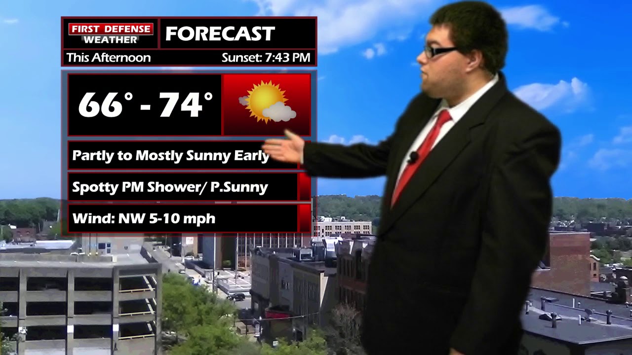
While the majority of the day will be mainly dry, there will be the potential for a few spotty showers across the Southern Tier this afternoon. These showers won’t be anything too heavy nor will they last very long. There will be lingering cloud cover after those showers so we will likely end the day partly sunny. High temps will range from 66 on the hills to 73 across lower elevations.
There maybe a leftover spot shower early this evening, otherwise tonight will be partly to mostly cloudy. Morning lows 50 in the valleys, 56 Lake Erie shoreline.
Saturday will be a near rinse and repeat. The day starts dry with partly sunny skies, a few spotty afternoon showers are possible. Highs in the mid to upper 60’s.
A real Autumn feel will come our way on Sunday with highs in the lower to mid 60’s and partly sunny skies. Dry weather continues into Monday with temps flirting with 70.
A shift in the upper level wind pattern will see the influx of warmer temperatures and some moderate humidity Tuesday and Wednesday. Tuesday should be mostly sunny with more widespread rain and thunderstorm activity returning on Wednesday with temps near 80 once again.

That shift will only be brief as we return to more fall-like weather for Thursday with a few leftover showers and high in the upper 60’s.
WNYNewsNow is a proud Ambassador for the NOAA Weather-Ready Nation program.
![]()


Leave a Reply