JAMESTOWN – High pressure has built into the Northeast which will equate out to mainly sunny afternoons and fair nights with patchy morning fog over the next several days. The next chance for rain will not arrive until the weekend.
The afternoon today will be mostly sunny to compete sunshine. Highs will range 60 in the valleys to 68 near the Lake Erie shoreline.
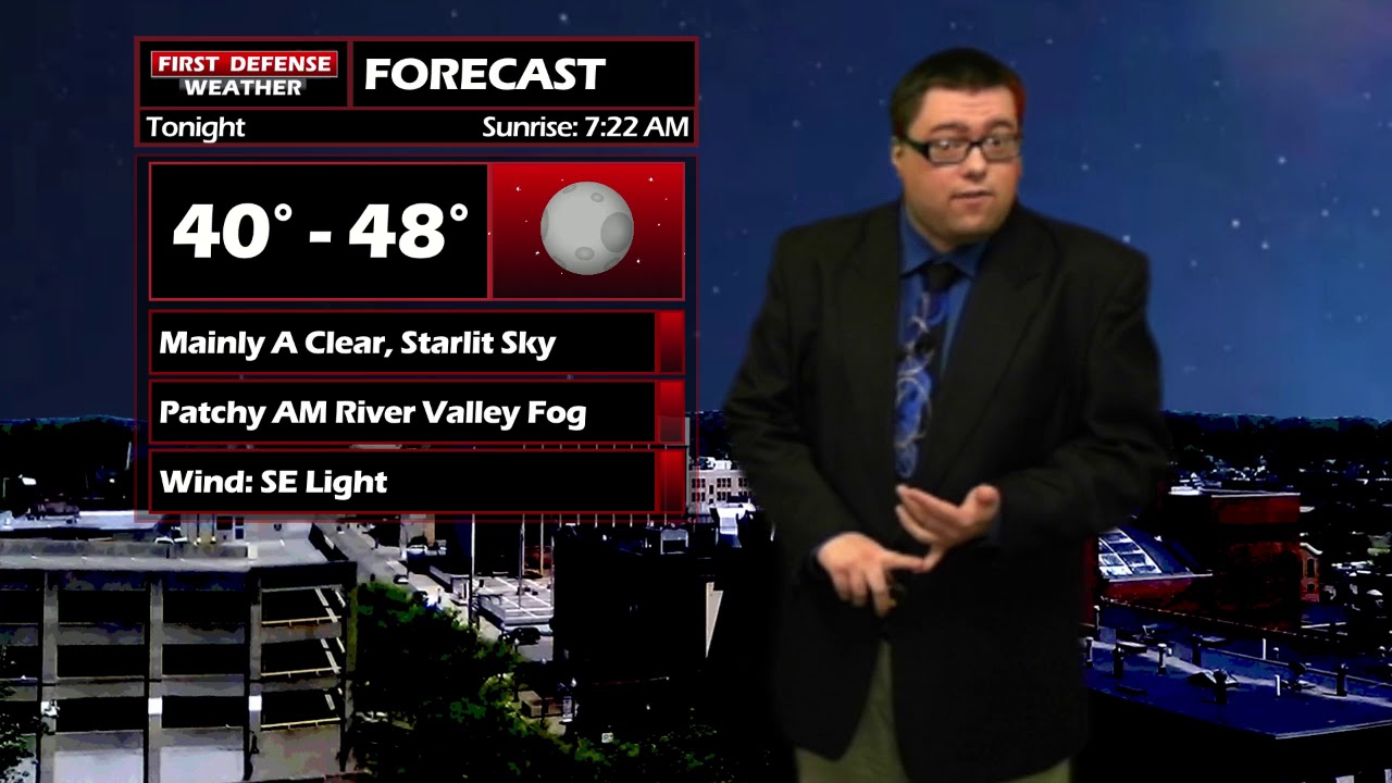
A mainly clear sky tonight with patchy fog developing mainly in the river valley areas by morning. Lows 40 to 48.
Tomorrow will be a near repeat of today. Mostly sunny skies with highs 61 to 69.
This dry pattern will continue into Thursday and Friday with temperatures in the mid to upper 60’s and morning fog.
There will be the chance for showers on Saturday with a storm system passing well to our west. This system could potentially bring a big snowstorm to parts of the upper Midwest over the weekend. Current guidance suggests we will be on the warm side of the storm, leading to rain showers through the day.

The rain will begin to taper off early on Sunday as the storm system pulls into Canada, leading to some partial sunshine for the afternoon with highs in the upper 50’s.
WNYNewsNow is a proud Ambassador for the NOAA Weather-Ready Nation program.
![]()


Leave a Reply