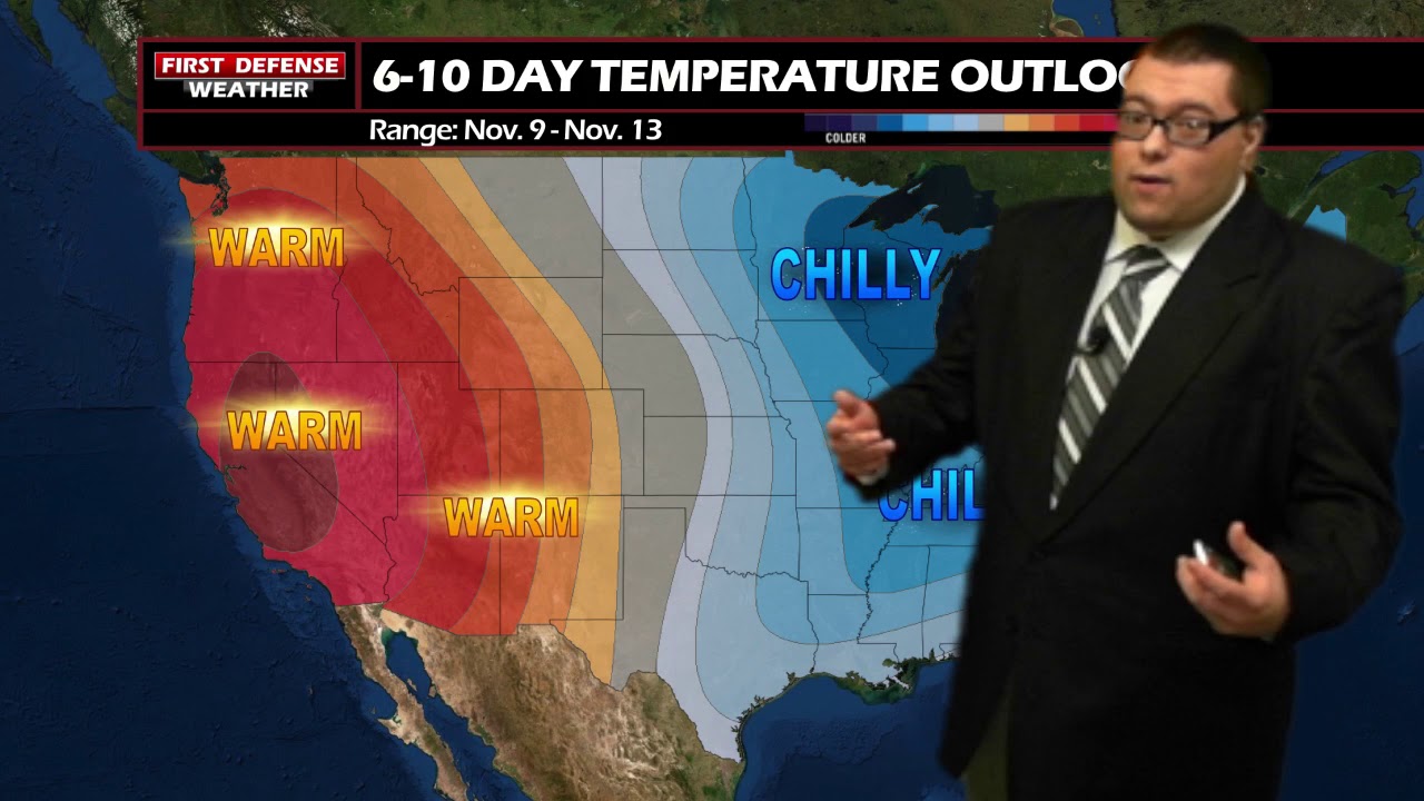
JAMESTOWN – The first week of November starts on a dry and cool note but some big changes will be coming our way by the end of the week with cooler temperatures and possibly some snow across the Southern Tier.
Expect mostly cloudy skies throughout the afternoon today with highs 44 to 56. It will be a bit breezy through the afternoon with wind gusts possibly near 35 MPH at times.
Rain showers will begin to develop tonight and become more widespread through the overnight hours into Tuesday morning. Lows 36 to 44 with a south wind around 14 MPH.
The more widespread rain will be early on Tuesday, before tapering to a few showers for the afternoon hours. Highs in the mid 40’s.
The weather for the end of the week will depend on the track of a developing storm system Thursday into Friday. If the storm track has a northward shift closer to the region, We’ll filter in colder air with widespread accumulating snow likely across Western New York. The possibly does exist for some pockets of lake effect or enhancement if the winds can get going off of Lake Erie.

A southernly track away from the area could result in a cold rain with maybe some pockets of freezing rain. We are still too far out to have exact details, given how models still are not in agreement with the event. We’ll know more once we get closer.
WNYNewsNow is a proud Ambassador for the NOAA Weather-Ready Nation program.


Leave a Reply