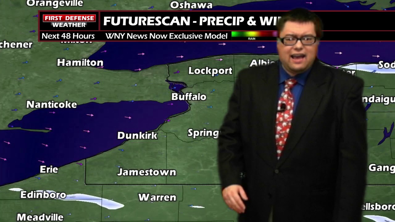
JAMESTOWN – As advertised, the lake snow band has moved north and impacted the Buffalo metro area. Now, the band is on its way southward again and will impact the Southern Tier this afternoon and into tonight.
The National Weather Service in Buffalo maintains the Winter Weather Advisory for much of Western New York until 1 a.m. Thursday morning. The Weather Service in Cleveland has extended the Advisory into Erie County, PA also running until 1 a.m. Thursday.

After spending much of the morning in the Buffalo metro area, the lake effect snow band has begun a jog back to the south. The band will continue moving south through the day. Some moderate to heavy snow is possible within the band at times. High temps 23 to 33 with west wind 20 to 30 MPH with gusts to 40 MPH possible. Those gusty winds could also cause some blowing snow at times.
Lake snow continues tonight tapering off later in the early morning hours as the band sags farther southward and falls apart. Lows 12 to 18 but with a gusty wind near 30 MPH at times, blowing snow will continue to be an issue through the night.
We will pick up an additional 3 to 4 inches in spots, mainly along the higher terrain of the Southern Tier. 1 to 3 inches is possible along the lower elevations with lesser totals further east and south.

Tomorrow will start partly sunny but clouds will be on the increase through the day. Highs 26 to 33.
Friday will be another dry day but warmer and temps near 40 degrees once again.
Widespread rain is likely on Saturday with highs in the lower 40’s.

We’ll bring colder air back into the region during the second half of the weekend into early next week as the pattern becomes unsettled once again.
WNYNewsNow is a proud Ambassador for the NOAA Weather-Ready Nation program.
![]()


Leave a Reply