App users, tap here to watch video.
JAMESTOWN – High pressure has built in across the northeast but that won’t be lasting long as a weak frontal boundary will become the focal point for some rain showers through the middle of the week. A big change in the air flow aloft could lead to some white stuff later in the week.
After some patchy morning fog burned off, we’re going to be left with mostly sunny skies through the remainder of the day. Highs will range 48 at the immediate Lake Erie shoreline to 63 inland. Light northwest wind.
Mostly cloudy and quiet tonight. It will not be as chilly with lows 37 deepest valleys, 42 at the lakeshore. Light wind.
As the frontal boundary approaches tomorrow, scattered showers will be likely throughout the day. However it will not be a washout by any means with plenty of dry time in between. Highs 50 to 58.
We will maintain the chance for a few scattered rain showers through the day on Wednesday with mostly cloudy skies in between. Highs in the mid 50’s.
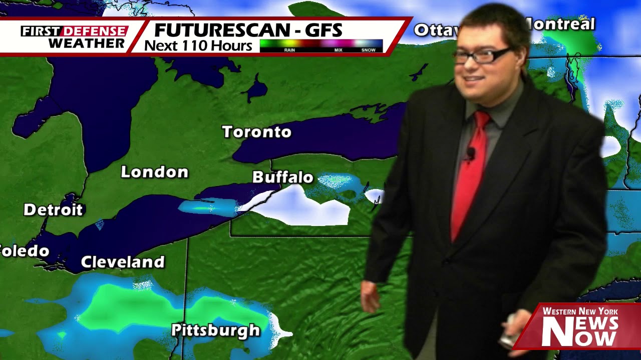
As we head into Thursday, models have been starting to come together on a storm system that will pass close to the region through the upper Great Lakes. Scattered to widespread rain will be likely though the day on Thursday with highs only in the mid 40’s as colder air is filtered in.

That colder air will be reinforced by a deep trough digging into the region bringing the potential for some snow showers Thursday night and Friday. Understand, we are still several days out and it is impossible to say how much accumulation, if any, could be possible at this time.
Highs on Friday will be in the upper 30’s along with a breezy northwest wind.
We will rebound slightly on Saturday with partly cloudy skies and highs in the mid 40’s.
We will stay below average on Easter Sunday with a chance for an isolated or scattered shower and highs in the upper 40’s.
WNYNewsNow is a proud Ambassador for the NOAA Weather-Ready Nation program.
![]()


Leave a Reply