App users, tap here to watch video.
JAMESTOWN – We’re not sure if it is April either as bursts of snow have been moving across the Southern Tier this afternoon but a more widespread snowfall will be likely on Friday as cold temperatures continue.
Scattered snow showers will continue throughout the afternoon today, possibly laying down an half inch to an inch in spots. It will be quite cold with highs 30 on the hills to to 37 near the Lake Erie shoreline.
Snow will taper off tonight leading to partly to mostly cloudy skies for the overnight. Quite cold. Lows 22 valleys, 30 lakeshore.
Heading into tomorrow, a fast moving storm system will track just to our south and bring an influx of moisture into the region due to its close proximity. And area-wide snow will be likely throughout the day with some accumulations ranging from an inch or so along the lower elevations, upwards of 2 inches on the hills. Very cold. Highs 30 to 36.

Widespread snow will continue early Friday night, tapering off after midnight and becoming partly cloudy. Additional accumulations between 1 to 2 inches. Cold. Lows in the mid 20’s.

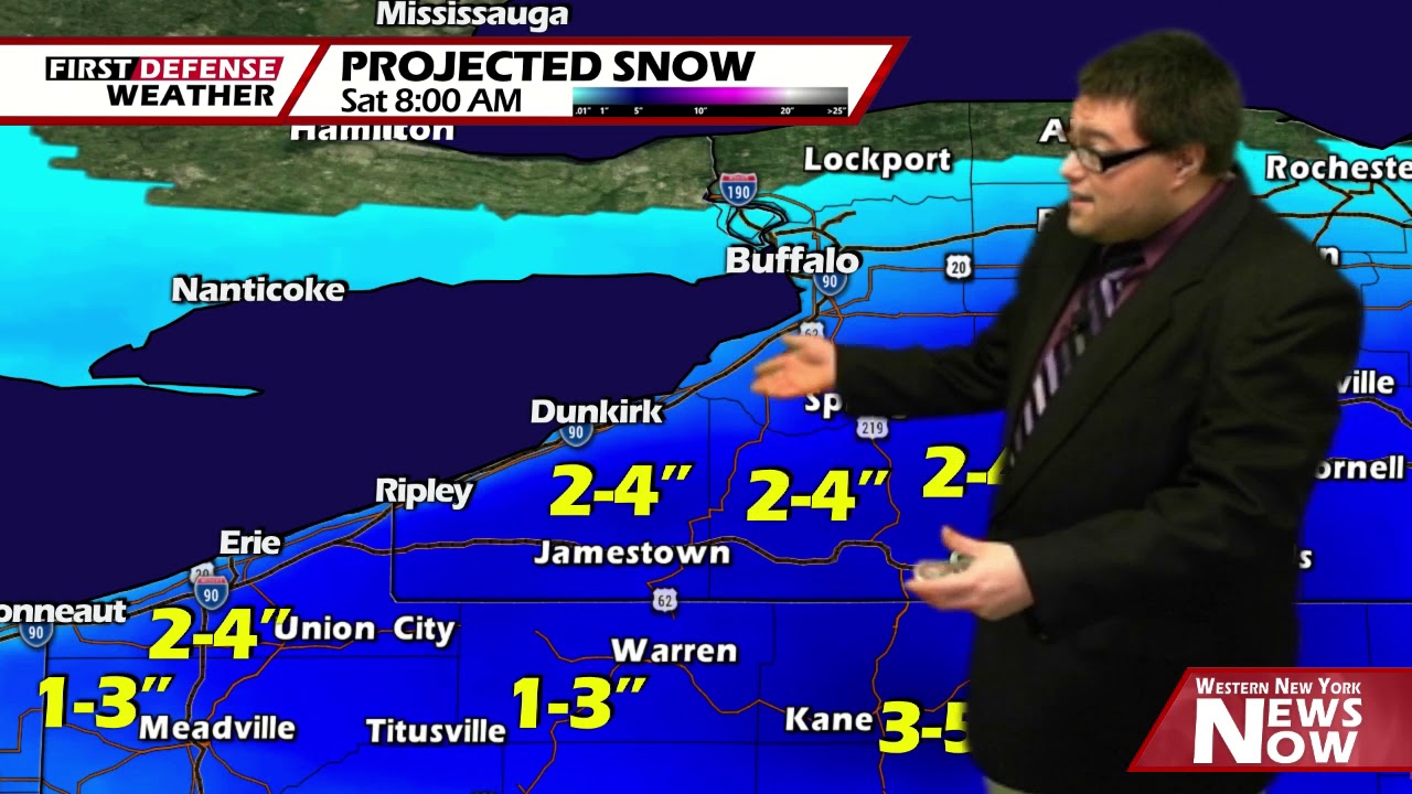
High pressure returns briefly for Saturday with partial sunshine at times. It will remain chilly with high in the mid to upper 40’s.
A boundary on Sunday will become the focal point for the next round of showers across the Southern Tier. We should spike back into the upper 50’s for highs, closet to where we should be this time of the year.
Another area of high pressure will build in on Monday bringing us partly to mostly sunny skies and highs in the lower 50’s.

While the high should be strong enough to keep most of the precipitation at bay, a few light rain or snow showers could be possible on Tuesday and Wednesday but both days should be mainly dry with highs near 50.
WNYNewsNow is a proud Ambassador for the NOAA Weather-Ready Nation program.
![]()


Leave a Reply