App users, tap here to watch video
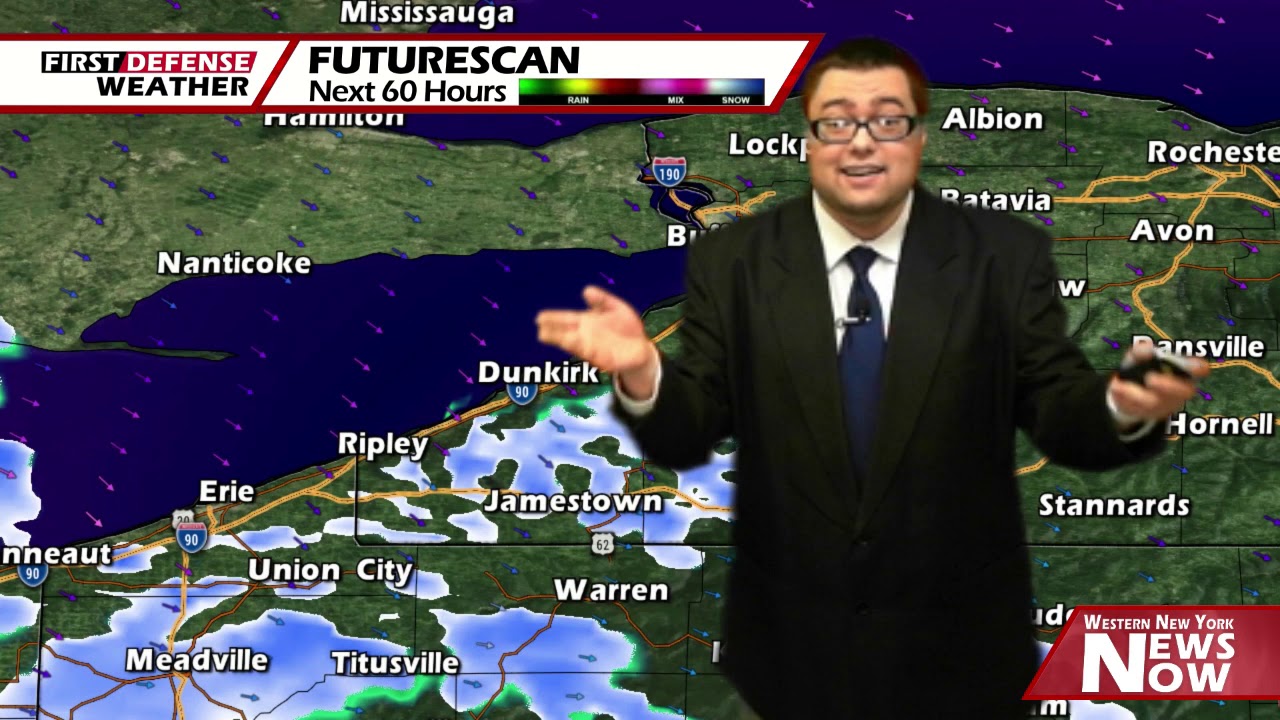
JAMESTOWN – We might be into spring but winter isn’t giving up quite yet as waves of cold air continue to surge into the region through the end of the week. Some snow showers are possible on Saturday before things change for the better later next week.
While the radar has been showing a few showers across the Southern Tier early this afternoon. dew points are in the 20’s and 30’s with none of the observation stations reporting that rain. Thinking a lot of those returns are what we call “Virga”, or rain that evaporates on the way down as it hits drier air.

With that said, we will keep the chance for a few scattered showers this afternoon with a healthy breeze. Highs 53 on the hills to 62 near the Lake Erie shoreline. Southwest winds 10 to 20 MPH with gusts up to 30 MPH.
After an early shower this evening, skies should partly clear out overnight. Remaining quite chilly. Lows 30 in the valleys, 36 lakeshore.
As a Cold front plows through Western New York, temperatures will drop into the lower to mid 40’s with a chance for rain and snow showers mainly in the afternoon.
After the frontal passage, the upper-level trough digs a little deeper into the Northeast, sending a true shot of Arctic air down into the region. Snow showers will be likely Friday night into early Saturday with lows well down into the mid 20’s.
As we’ve been talking about all week long, Saturday will be just a down-right frigid day. If we hit our forecast high of 38, that will be the coldest May 9 in Jamestown since 1902 where the high was only 42, officially busting that 118-year-old record low maximum high.
On again, off again snow showers will continue through the day on Saturday as well. Accumulations should be minimal due to warmer ground temperatures likely helping to melt some of the snow as it hits the surface. However, accumulations of a half inch to upwards of an inch are possible along the higher elevations with some localized amounts up to one and a half inches on the highest hills of Cattaraugus County.

While we have upped the precipitation chances slightly for Mother’s Day, much of the day should be useable with highs in the mid 40’s.
We will stay cold on Monday with a few leftover rain or snow showers and partial sun. Highs in the lower 40’s.

Looking towards the middle of next week, we will finally start to see an area of high pressure building ion with a more southernly wind flow aloft bringing in that warmer air oncer again. Highs on Tuesday will be in the lower 50’s and upper 50’s on Wednesday.
WNYNewsNow is a proud Ambassador for the NOAA Weather-Ready Nation program.
![]()


Leave a Reply