App users, tap here to watch video
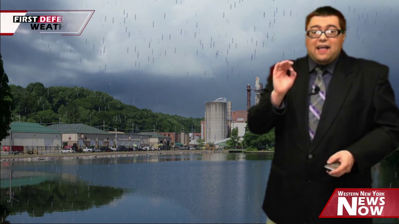
JAMESTOWN – Things will be warming up through the weekend with some chances for showers and thundershowers the next couple of days with more warmth on the way for next week.
The NOAA Storm Prediction Center has outlined the far western Southern Tier and Northwestern Pennsylvania under a low-end Marginal Risk, a level 1 out of 5, for severe thunderstorms later this afternoon.

While the primary factor from this activity will be heavy downpours, there is a small chance a couple of those storms could contain some brief gusty winds.
Through the afternoon, clouds will thicken west to east and becoming mostly cloudy to overcast. Showers will develop with some rumbles of thunder possible while becoming somewhat muggy. Highs 60 on the hills, 66 near the Lake Erie shoreline.
A line of showers and storms with a Warm front will move thought early this evening. Timing will range from around 7 p.m. in the western-most areas., the Southern Tier by 8 p.m., eventually moving eastward by 9 p.m. with some heavy rainfall and gusty winds at times.

Showers will continue after midnight in pockets. Very mild and breezy. Lows 54 valleys, 60 lakeshore.
Scattered to occasional showers and thundershowers will be likely throughout the day on Friday with some pockets of heavier rainfall. Warmer. Highs 66 to 74.
A weak area of high pressure builds in across the upper Great Lakes, providing a great day on Saturday with partly to mostly sunny skies and highs near 70.
The weak high will move out Saturday night allowing a cold front to step through on Sunday with another chance for showers and thundershowers through Monday. Highs will go down into the lower 60’s due to a cooler wind flow behind the front.

Looking into mid to late next week, another warmup trend will take place with partial clearing and highs nearing 70 on Wednesday and likely going to the lower to mid 70’s by the end of the next week.
WNYNewsNow is a proud Ambassador for the NOAA Weather-Ready Nation program.
![]()


Leave a Reply