App users, tap here to watch video
JAMESTOWN – Light rain showers will continue in pockets early this afternoon from place to place. As high pressure returns, drier and warmer weather will be ahead through the end of the week.
Through the afternoon, scattered light showers will be possible through at least mid afternoon before tapering off. Expect less ran activity near the NY/PA border into Northwestern PA. Otherwise mostly cloudy to overcast. Highs 64 on the hills, 69 near the Lake Erie shoreline. East wind 10 to 15 MPH.
Any leftover light rain showers will come to an end this evening otherwise mostly cloudy. Lows 50 valleys, 55 lakeshore. East and 7 to 14 MPH.
An area of high pressure will build in on Tuesday with clouds slowly parting to partly to mostly sunny skies by late afternoon. Highs 65 to 71.
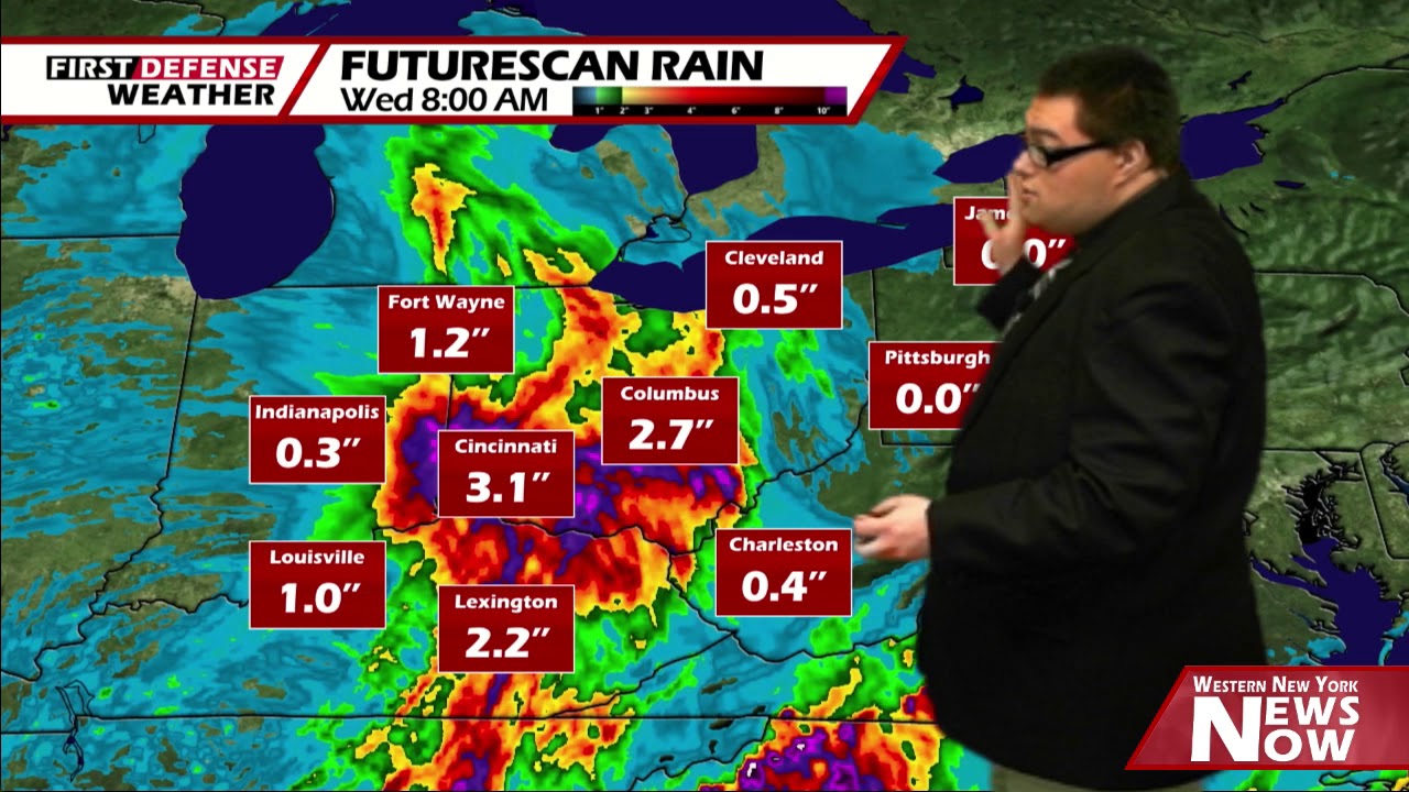
More sunshine will be on the way for Wednesday and Thursday with highs in the upper 60’s to lower 70’s.
While Friday is looking to be mainly dry as of this point with more clouds than sun, there will be the chance for a few showers or thundershowers through the day depending on the track of an upper low in relation to Western New York. Highs in the lower 70’s.

The Memorial Day weekend is still up in debate on if it will be entirely dry. We do have a chance for a scattered shower on Saturday with a small chance for an isolated shower on Sunday but highs will be nice and warm in the mid 70’s.
WNYNewsNow is a proud Ambassador for the NOAA Weather-Ready Nation program.
![]()


Leave a Reply