App users, tap here to watch video
JAMESTOWN – The dry weather won’t be staying around for long as showers and thunderstorms return through the afternoon on Thursday.
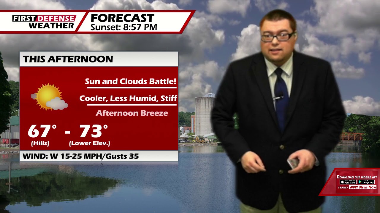
A Cold front passage has equated out to some cooler and less humid weather for the next couple of days. However, with the Jet Stream dipping into the continental US, a few waves of low pressure will ride along the jet, bringing some much needed rain to the northeast.
After some partial clearing this evening, clouds will be thickening up overnight. Lows 54 in the valleys, 62 at the Lake Erie shoreline. Winds diminish after midnight.
Thursday will start off mainly dry with partial sunshine but scattered showers and thunderstorms will be developing in the afternoon. The day will not be a total wash but you will be dodging some raindrop from time to time. Remaining quite comfy. Highs 71 to 78.
Despite a small chance for an isolated shower inland on Friday, the day will be mainly dry with a good supply of sunshine to go around. The humidity will start to tick up just a tad as well. Highs near 80.
Saturday will be a busy weather day overall. As another wave of low pressure moves close to the region, widespread showers and thunderstorms will be likely throughout the day. It will also be a windy and muggy day as the humidity rises. Highs in the lower 80’s.

Sunday will be the better of the two weekend days as we return to partial sunshine but the humidity will still be up. Highs in the lower 80’s.
Heading into next week, scattered shower and thundershower chances are possible for both Monday and Tuesday but there will be a good amount of sunshine in between. Highs will stay mild int he lower 80’s.
WNYNewsNow is a proud Ambassador for the NOAA Weather-Ready Nation program.
![]()


Leave a Reply