App users, tap here to watch video
JAMESTOWN — The warmest influx of air so far this summer is underway and will continue to be the main weather feature throughout much of the upcoming week.
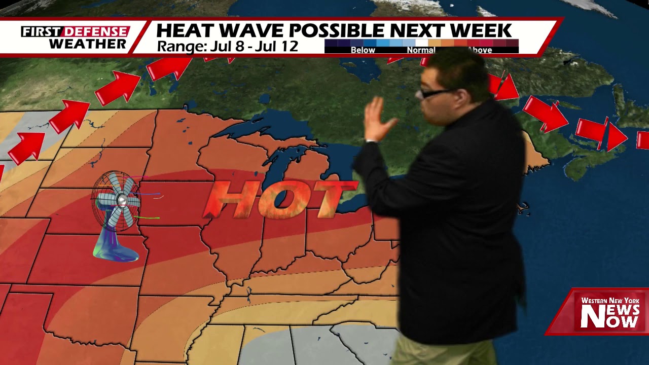
Two large areas of high pressure have hooked together in tandem across the Great Lakes region, setting up ridging which is responsible for the surges of hot and humid air. This pattern will be locked in for the next several days with virtually no rain chances through the middle part of next week.
Some leftover cloud cover associated with a weak frontal passage will linger in patches through the overnight tonight. We will stay rather warm and muggy. Lows 64 in the valleys, 72 at the Lake Erie shoreline.
As we celebrate our county’s 244th birthday on Saturday, we will be doing it in July fashion. Lots of sunshine, very warm and muggy. Highs 84-90.
The fireworks display from Lakeside Park in Mayville tomorrow night will go off perfectly with no weather hassles to contend with.

As a reminder, if you are heading to Mayville tomorrow night, remember your masks and keep six feet of social distance from others.
Sunday will be another hot and muggy day with plenty of sunshine to go around and highs in the upper 80’s.
We’ll stay dry and hot through Monday with highs in the upper 80’s.
We have introduced the chance for widely-spaced afternoon showers and thunderstorms Tuesday through Thursday as the temperatures rise to near 90 degrees with near tropical humidity levels. Understand, these storms will be fueled by the daytime heating process and the very high moisture content in the air. They will popup and fall apart at random times through the afternoon and evening and not everyone will see a storm.

Another noteworthy topic will be heat indices through this period as well. “Feels like” temperatures can easily soar into the mid 90’s with this kind of airmass we’ll have sitting over us. There is the possibility we may see Heat Advisories put out for next week.
Per local criteria set by the National Weather Service in Buffalo, heat indices of at least 95 degrees must be forecast to warrant the issuance of a Heat Advisory, while 105-degree+ indices meet Excessive Heat Warning criteria.
WNYNewsNow is a proud Ambassador for the NOAA Weather-Ready Nation program.
![]()


Leave a Reply