App users, tap here to watch video
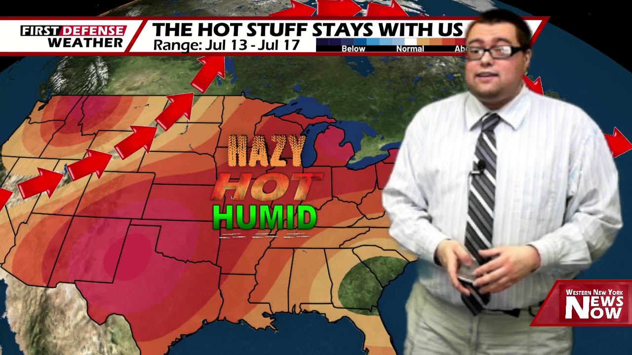
JAMESTOWN – The stretch of hot and humid weather continues throughout the reminder of the week ahead of a well-needed cool down by the weekend.
The heat ridge continues its hold across much of the country bringing hot and humid conditions across much of northeast. The ridge will stay in place through the end of the week before we back it down over the weekend with a cold front passage.
Any showers and thunderstorms will come to an end this evening leading to partly cloudy to mainly clear skies overnight. Some areas of patchy fog will redevelop overnight mainly in the valley locations of the Southern Tier. Very warm and muggy. Lows 67 in the valleys, 75 at the Lake Erie shoreline.
The peak of the heat and humidity will arrive tomorrow as strong early July sunshine in the morning will help fuel widely spaced and random showers and thunderstorms through the afternoon. Highs 86 to 95.
Friday will be another rinse and repeat day with scattered afternoon and early evening showers and storms popping up in random nature. Highs near 90 degrees.
A nice relief from the heat and humidity will be coming over the weekend as a cold front sweeps through on Saturday bringing cooler and widespread showers and thunderstorms. The rain will also be a welcome sight for the areas that are parched for moisture. Highs in the lower 80’s.

We’ll stay in the lower 80’s on Sunday with a chance for a leftover shower and partial sunshine.
Heading into next week, we stay rather comfortable with seasonable temperatures with a small chance for a shower each day.
WNYNewsNow is a proud Ambassador for the NOAA Weather-Ready Nation program.
![]()


Leave a Reply