App users, tap here to watch video
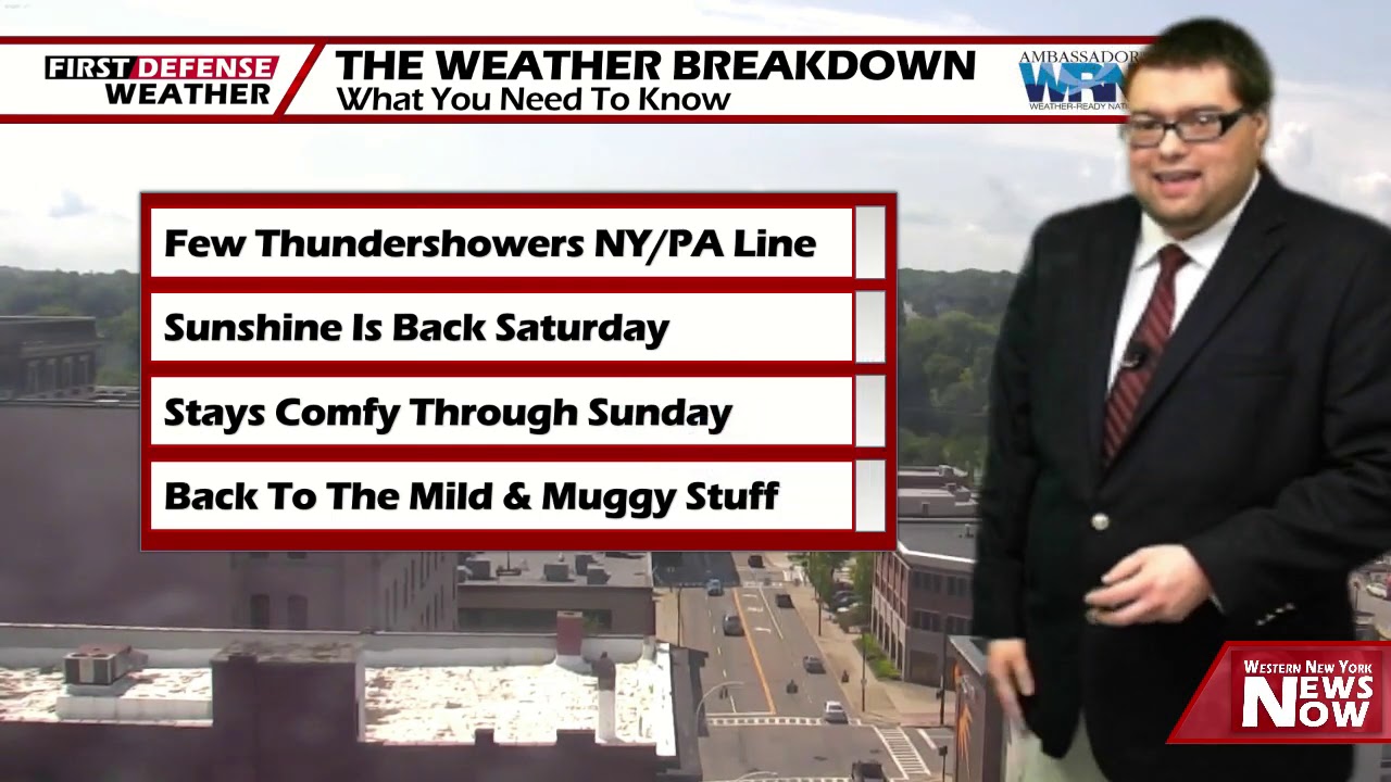
JAMESTOWN – After being in quarantine for awhile, summer will be making a return to the region over the next week as the heat and the humidity increases once again.
A stalled front well to our south will start to gain to some speed and move off the US East Coast allowing a high pressure ridge to take control of our weather of the weekend. However, a heat ridge setting up early next week will bring another surge of heat and humidity into the region once again.
After an early shower this evening, the remainder of the night will be partly cloudy with areas of patchy fog developing along the valley locations of the Southern Tier. Lows 55 in the valleys, 63 near the Lake Erie shoreline.
Saturday will be the pick day of the weekend. Lots of sunshine to go around with overall seasonable temperatures with the humidity still remaining rather low. Highs 76 to 83.
On Sunday, the heat and the humidity will start to spike as another heat ridge starts to build into the region. We should be mainly dry with a good supply of sunshine. Highs 80 to 86.
The peak of the heat will likely arrive on Monday as highs will go into the mid 80’s with scattered afternoon showers and storms popping up with sticky humidity.

As a storm system moves close to the region, widespread showers and thunderstorms will be likely on Tuesday with highs going down into the lower 80’s.
We’ll stay warm and humid through mid next week with only a couple scattered showers on Wednesday with highs in the lower 80’s.
WNYNewsNow is a proud Ambassador for the NOAA Weather-Ready Nation program.
![]()


Leave a Reply