App users, tap here to watch video
JAMESTOWN – Rain has ben rather hard to come by recently but now Lake Erie has come alive and has been generating bands of lake effect rain showers which will continue into much of the day on Friday.
A deep upper level trough digging into the Great Lakes has shoved much cooler air into the region has has triggered a response from Lake Erie in the terms of lake effect rain showers. Those lake showers will continue into Friday with some even more cooler air surging in for the weekend.
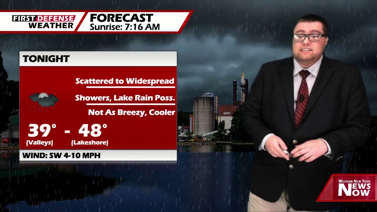
Early lake effect rain showers tonight will become more scattered throughout the overnight with mostly cloudy intervals. Lows 39 in the valleys to 48 at the Lake Erie shoreline.
Showers and lake effect rain showers will continue on Friday while becoming a bit breezier and cooler. Highs 47 hills, 56 lakeshore. Wind gusts could reach upwards of 25 MPH at times.
The rain will taper off into just a couple isolated showers on Saturday with much of the day remaining mainly dry with partial sunshine. Highs 48 to 54.

We’ll bring in another chance for a few scattered showers on Sunday and Monday but neither day with will be a washout. Highs will be in the mid to upper 50’s.
Heading into mid next week, temperatures will start to climb back into a more seasonal level with highs heading into the lower to mid 60’s. Tuesday and Wednesday, as we stand now, should be mainly dry with only a small chance for an isolated shower Wednesday afternoon.
WNYNewsNow is a proud Ambassador for the NOAA Weather-Ready Nation program.
![]()


Leave a Reply