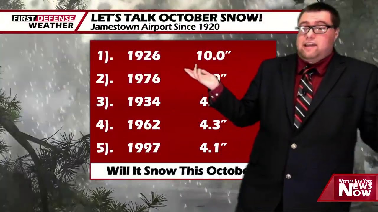
App users, tap here to watch video
JAMESTOWN – The lake effect rain machine will kick off leading to a rather drier but chillier weekend ahead with some partial sunshine at times.
The upper level trough continues to dig into the Great Lakes region being in cooler air form Canada along with bringing Lake Erie alive in the lake effect department with scattered lake rain showers. The weekend is looking mainly dry with some very short-lived milder air coming in for next week.
Scattered lake effect rain showers will persist tonight mainly before midnight with partly to mostly cloudy internals. Quite chilly. Lows 36 in the valleys, 47 at the Lake Erie shoreline.
Partial sunshine will take us through the day on Saturday with highs 48 to 56.
There will the chance for a spotty shower or two on Sunday but the majority of the day will be dry with sun and clouds. Highs in the mid 50’s.

Heading into next week, the trough will work its way off the east coast which will allow a small surge of milder air to push into the region from the south. Both Monday and Tuesday should be mainly dry with a good amount of sun each day. Highs will come back up into the upper 50’s Monday and the mid 60’s on Tuesday.
Wednesday and Thursday will need to be monitored as a system may try to coot by to our northwest. If that indeed verifies, it could be breezy and wet during this time frame with highs remanding around average.
WNYNewsNow is a proud Ambassador for the NOAA Weather-Ready Nation program.


Leave a Reply