
JAMESTOWN – The chilly air will continue into the second half of the weekend with the return of a few scattered showers before a very short-lived warmup returns for early in the week.
We have stayed mainly dry on Saturday thanks to a weak area of high pressure that has slid in to our south. That high will move out and allow a surface boundary with an attached low to move in on Sunday and produce a few showers from place to place. We will see a very brief surge of milder air pulling early in the week before the chilly air returns for the reminder of the forecast week.
Mostly cloudy and quiet tonight. Still rather chilly. Lows 34 in the valleys, 46 at the Lake Erie shoreline. Light winds.
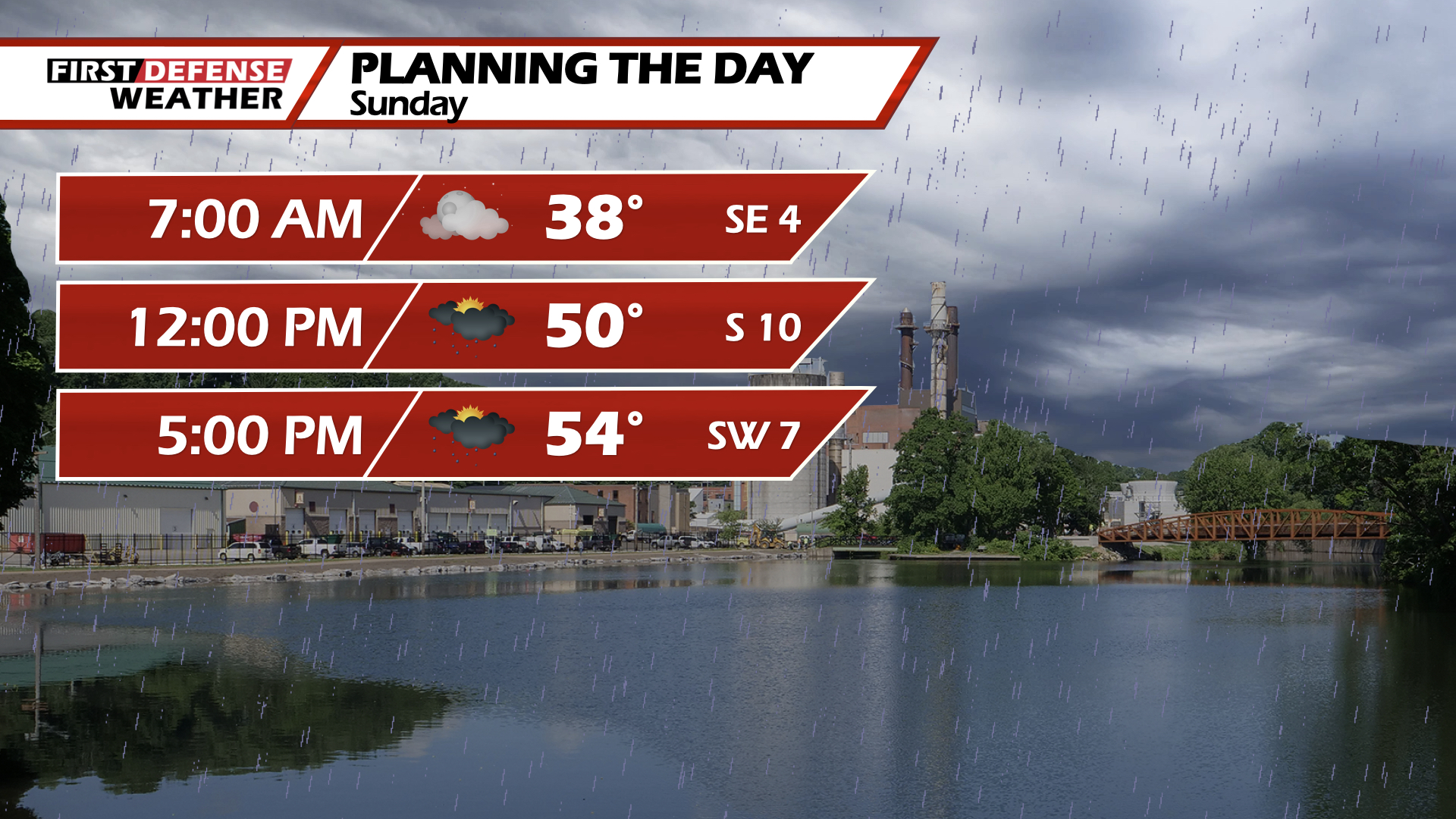
Sunday will start with mostly cloudy skies in the morning with scattered showers developing in the afternoon. Rather cool. Highs 52 hills, 57 lakeshore.
There could be an isolated shower to start Monday morning then gradual clearing in the afternoon. Highs 55 to 63.
A good supply of sunshine will take us through Tuesday while becoming milder as well. Highs in the mid 60’s.
A storm system will scoot by to north on Wednesday which will bring some scattered to widespread showers and maybe a couple rumbles throughout the region. Highs in the lower 60’s.
As the system pulls away, there could be a couple leftover showers on Thursday otherwise partial sunshine. Cooler. Highs in the mid 50’s.
The sunshine will be back in good supply on Friday with highs in the upper 50’s.
WNYNewsNow is a proud Ambassador for the NOAA Weather-Ready Nation program.
![]()


Leave a Reply