
App users, tap here to watch video
JAMESTOWN – Continue to rejoice if you’ve been searching for rain as it will continue tonight and early Tuesday before a brief return of milder and drier air comes up later in the week.
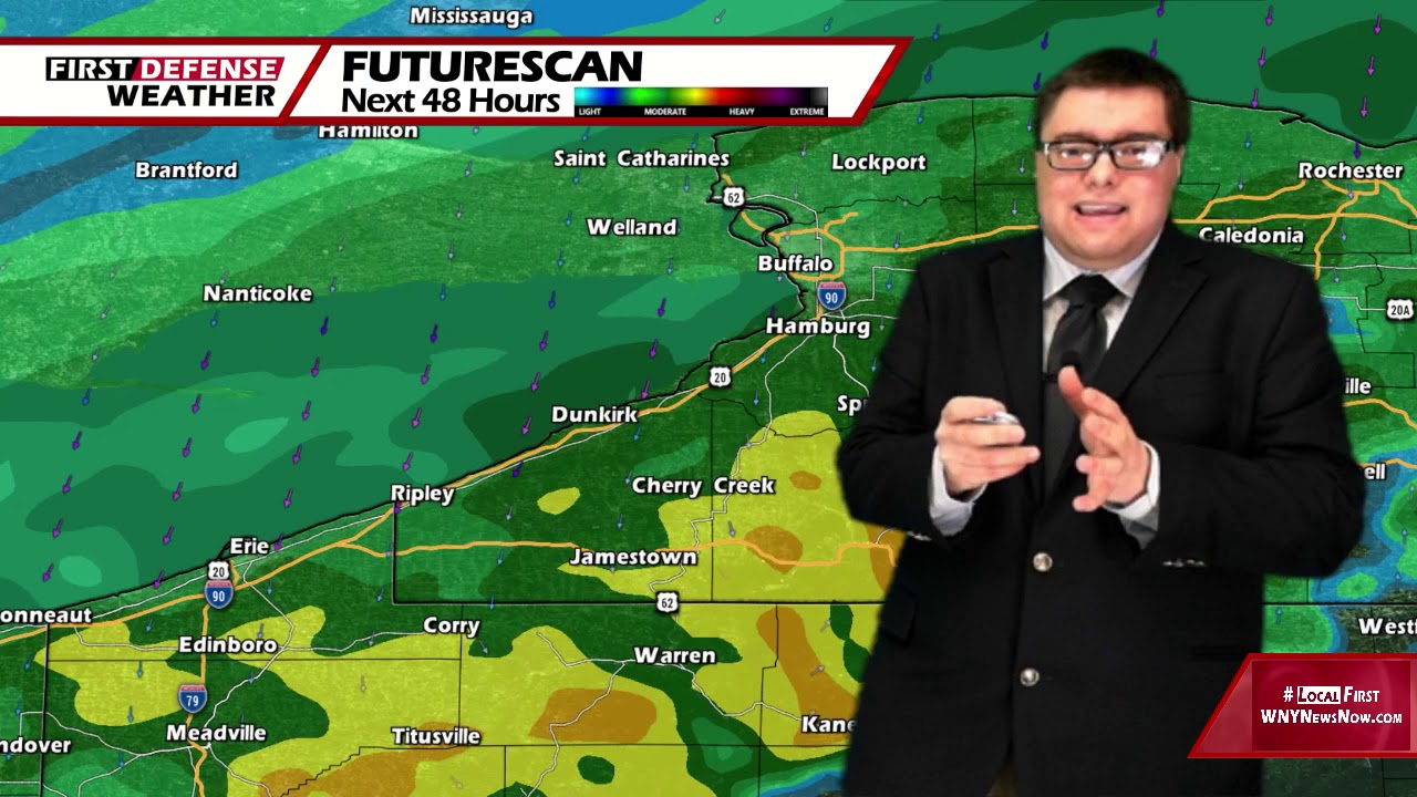
We’re on the heels of a stalled front which has made Western New York its home for awhile, allowing a few different waves of low pressure to ride along the front and bring us some well-needed rainfall. We’ll see a little bit of a break in the rain which will come along with a warmup heading into week’s end.
Scattered to widespread showers will continue throughout the night with areas of patchy fog. Lows 45 in the valleys, 52 at the Lake Erie shoreline.
The best chance for rain tomorrow will be in the morning, tapering to a few scattered showers in the afternoon. Otherwise mostly cloudy to overcast. Highs 49 to 57.
Rain showers will become commonplace again on Wednesday with a few rumbles of thunder possible. Milder. Highs in the mid 60’s.
As high pressure returns as a ridge, that will allow a surge of drier and milder air to return once again for Thursday and Friday. Each day will feature a good supply of sunshine with highs in the upper 60’s to lower 70’s.

Another cold front passes Friday night trigging off another round of showers. Things will turn drier and cooler for the weekend with highs in the lower to mid 50’s.
WNYNewsNow is a proud Ambassador for the NOAA Weather-Ready Nation program.
![]()


Leave a Reply