(WNY News Now) – Chautauqua and Cattaraugus Counties brace for heavy snowfall, gusty winds, and hazardous travel as a Winter Storm Watch takes effect this week.
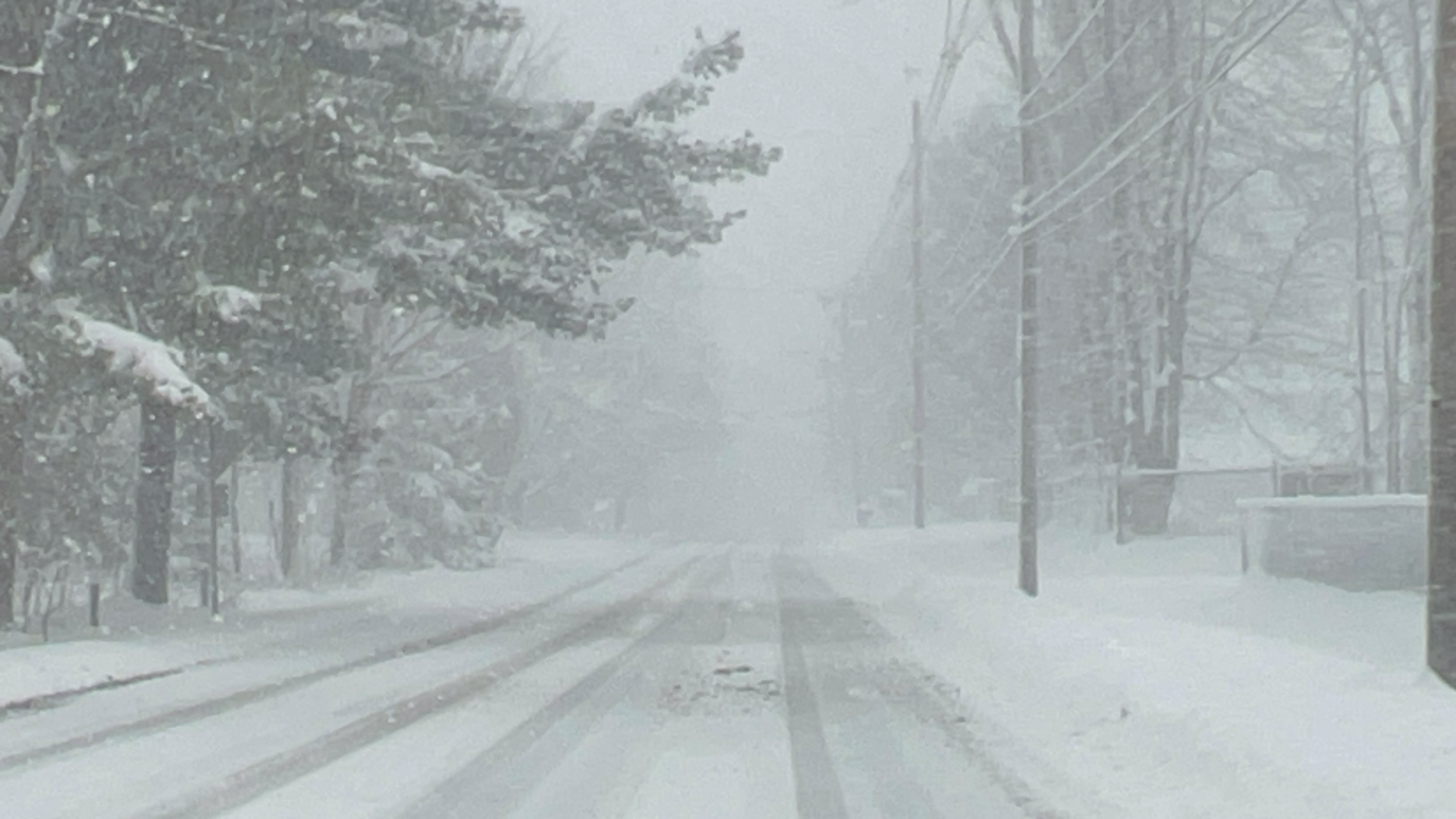
The National Weather Service (NWS) in Buffalo, NY, has issued a Lake Effect Snow Warning and a Winter Storm Watch for Chautauqua and Cattaraugus Counties. Residents are advised to prepare for hazardous winter conditions, including heavy snow and strong winds.
The Lake Effect Snow Warning remains in effect until 7 PM EST today, with an additional 4 to 8 inches of snow expected in areas experiencing persistent lake-effect snow. The higher elevations of Chautauqua Ridge and western Cattaraugus County will see the most significant accumulations.
Starting Wednesday evening through late Thursday night, the Winter Storm Watch predicts total snow accumulations exceeding 7 inches in certain areas, coupled with wind gusts reaching up to 50 mph. These conditions are likely to create blowing and drifting snow, significantly reducing visibility and increasing travel risks.
Commuters should anticipate difficult conditions during the Tuesday morning and evening rush hours, as well as throughout the duration of the storm. The powerful winds may also down tree branches, leading to isolated power outages.
The NWS urges drivers to exercise caution, as narrow bands of heavy snow could cause rapid changes in road conditions and visibility. Residents are encouraged to report snow accumulations through the NWS website or via social media.
For those in the affected areas, now is the time to check emergency supplies, avoid unnecessary travel, and stay updated with the latest weather information from trusted sources.


Leave a Reply