(WNY News Now) – Prepare for hazardous travel and shifting conditions as a powerful lake-effect snowstorm is forecasted to impact Erie, Genesee, Wyoming, Chautauqua, and Cattaraugus Counties this week.
The National Weather Service (NWS) in Buffalo has issued a Winter Storm Watch effective from Wednesday afternoon, December 11, through Friday afternoon, December 13. The advisory warns of heavy lake-effect snow and strong winds that may create dangerous travel conditions.
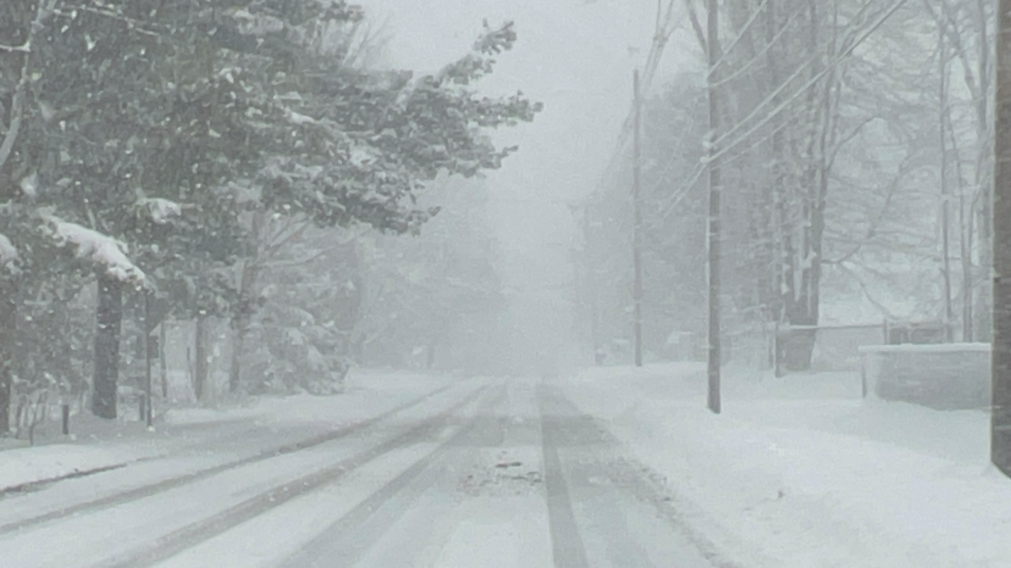
What to Expect
- Snow Accumulations: More than 12 inches of snow are possible in the most persistent lake-effect bands.
- Wind Gusts: Winds could reach speeds of up to 35 mph, potentially causing blowing and drifting snow.
- Visibility: Poor visibility and rapidly changing road conditions are anticipated, especially in heavy snow bands.
Areas Affected
The storm will primarily impact Erie, Genesee, Wyoming, Chautauqua, and Cattaraugus Counties. Residents should remain vigilant for localized differences in snow intensity, with conditions varying significantly over short distances.
Travel Impacts
Motorists are urged to avoid unnecessary travel during the storm. Snow-covered roads and sudden visibility drops could create hazardous driving conditions. Stay updated with local weather alerts and ensure vehicles are equipped for winter travel.
Safety Precautions
- Monitor live weather updates via NY Alert and NWS Buffalo.
- Stock up on essentials and prepare for possible delays or emergencies.
- If driving is unavoidable, keep an emergency kit in your vehicle and notify someone of your route and estimated arrival time.
Residents are encouraged to check local forecasts and plan ahead to mitigate risks posed by this intense winter weather event.


Leave a Reply