(WNY News Now) – Residents of Western New York brace for a major winter storm as the National Weather Service issues a Lake Effect Snow Warning, forecasting up to 3 feet of snow and hazardous travel conditions.
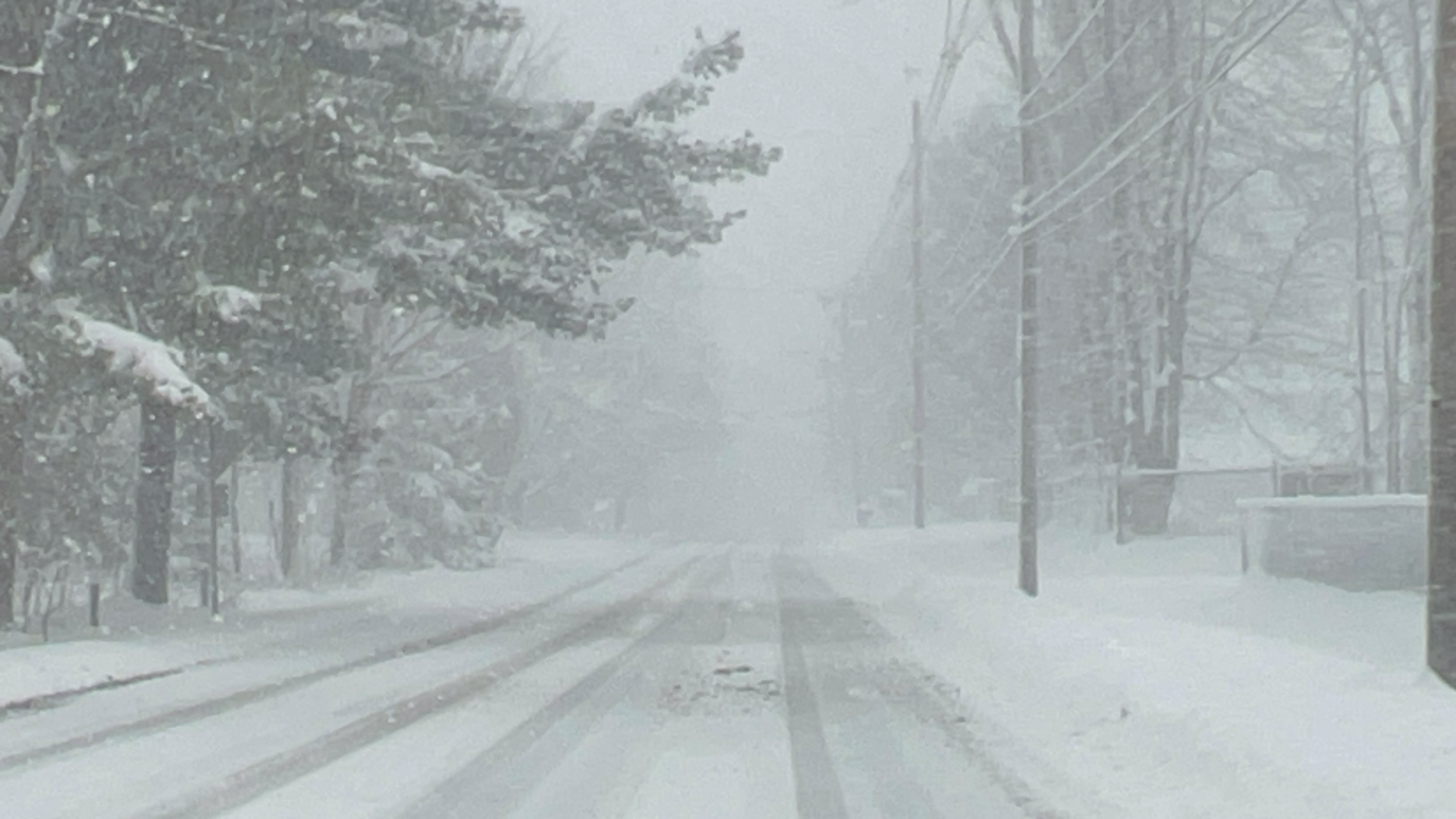
The National Weather Service (NWS) in Buffalo has issued a Lake Effect Snow Warning for Wyoming, Chautauqua, Cattaraugus, and southern Erie Counties, effective from 4 PM Wednesday, December 10, to 1 PM Friday, December 13. This alert anticipates heavy lake effect snow with localized accumulations ranging from 2 to 3 feet in the most persistent bands.
The warning also includes wind gusts reaching 40 mph, which are expected to produce significant blowing and drifting snow. These conditions will severely impair visibility, making travel particularly hazardous during the Wednesday evening, Thursday morning, and Thursday evening commutes.
Impact Zones:
- Central and southern Erie County
- Western Wyoming County
- Western Chautauqua County
- Far northwest Cattaraugus County
Residents are urged to prepare for rapidly changing road conditions and visibilities, as the weather can shift from intense snowfall to dry conditions within a matter of miles.
NWS Instructions:
- Travel Caution: Drivers should expect deep snow cover on roads and significantly reduced visibility.
- Stay Informed: Snow reports can be submitted through the NWS website or social media channels to assist in tracking storm severity.
- Be Prepared: Keep emergency supplies in your vehicle, and avoid unnecessary travel during the heaviest snowfall.
Residents are advised to monitor local forecasts and stay alert to updates from the NWS.


Leave a Reply