(WNY News Now) – The National Weather Service in Buffalo has issued a Lake Effect Snow Warning for Wyoming, Chautauqua, Cattaraugus, and Southern Erie counties, effective from 1 PM Monday, January 13, to 4 AM Thursday, January 16.
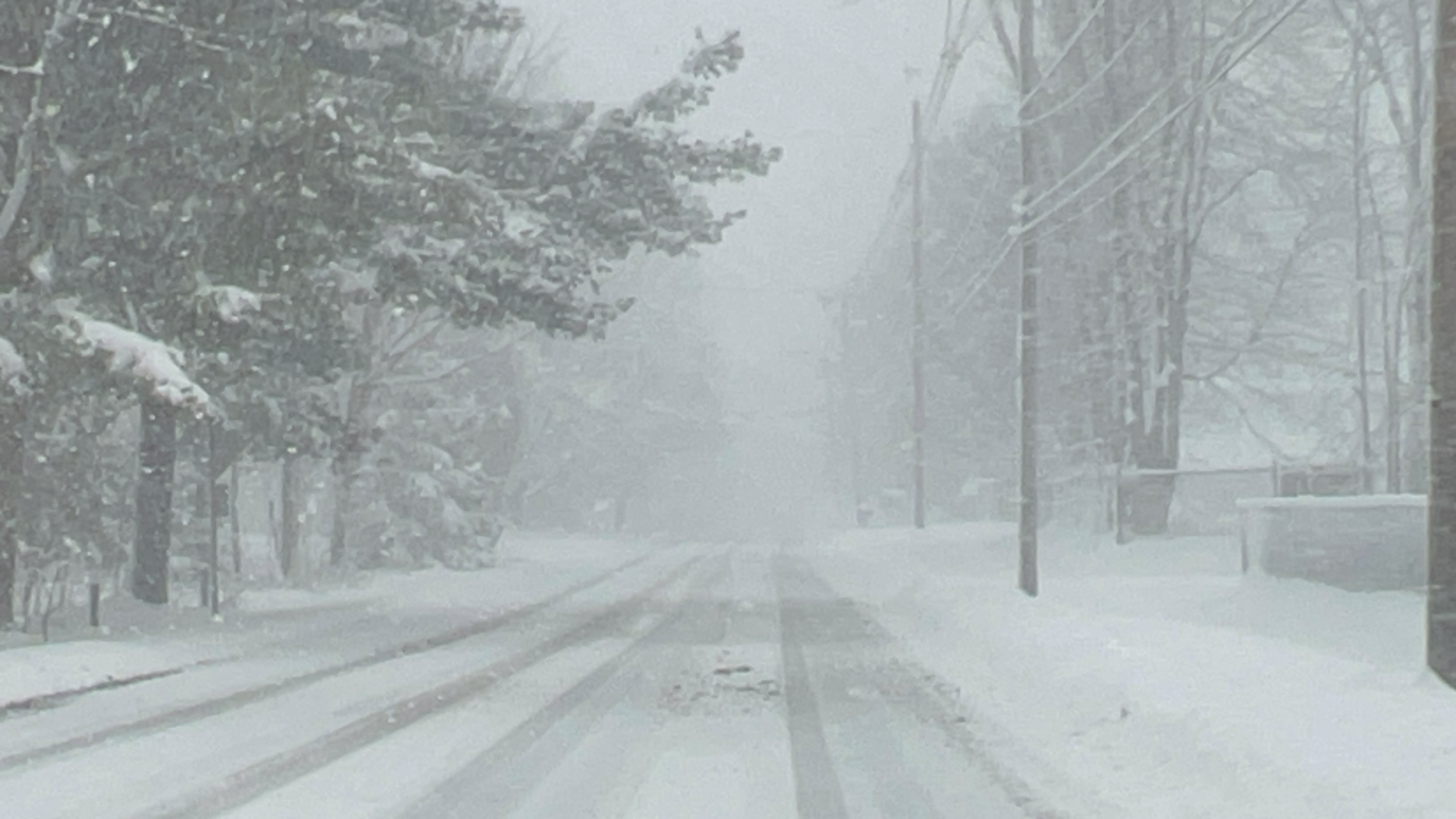
Residents in Western New York are advised to prepare for significant snowfall and hazardous travel conditions as a Lake Effect Snow Warning takes effect early next week. According to the National Weather Service (NWS) in Buffalo, heavy lake-effect snow is forecasted to blanket the region, with accumulations ranging from 8 to 16 inches in the most persistent snow bands.
In addition to the heavy snowfall, wind gusts of up to 35 mph are expected, creating conditions for blowing and drifting snow. These elements will significantly reduce visibility, posing challenges for drivers during the Monday evening and Tuesday morning commutes.
The affected areas include:
- Wyoming County
- Chautauqua County
- Cattaraugus County
- Southern Erie County
Timing and Impacts
- Start: 1 PM Monday, January 13
- End: 4 AM Thursday, January 16
Travelers should anticipate very poor visibility and deep snow accumulation on roadways. Hazardous driving conditions may develop quickly, even on familiar routes, due to the narrow, intense snow bands characteristic of lake-effect systems.
Community members are encouraged to report snow conditions via the NWS website or through social media channels.


Leave a Reply