(WNY News Now) – A Lake Effect Snow Warning has been issued for Northern Erie and Genesee Counties by the National Weather Service in Buffalo, lasting until 4:00 AM on Tuesday, January 14.
The National Weather Service (NWS) in Buffalo has issued a Lake Effect Snow Warning for Northern Erie and Genesee Counties, effective from 1:39 PM on Monday, January 13, through 4:00 AM on Tuesday, January 14.
What to Expect:
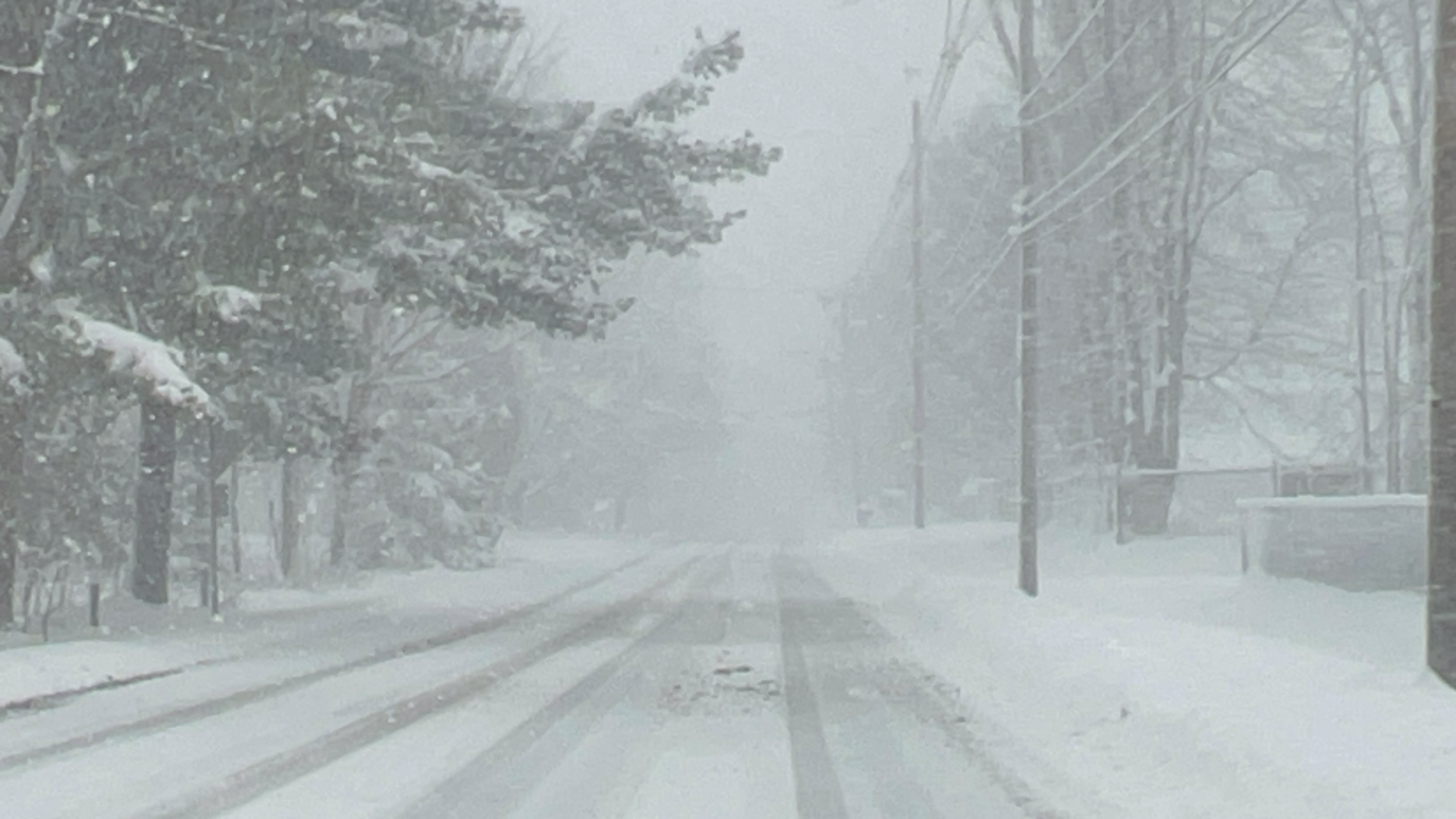
- Snow Accumulation: An additional 4 to 8 inches of snow is forecast in the most persistent lake-effect snow bands. Total storm accumulations are expected to range between 6 and 12 inches.
- Winds: Gusts up to 35 mph will result in blowing and drifting snow, further complicating travel.
- Areas Affected: The heaviest snowfall is expected across the southern and southeast suburbs of Buffalo and southern Genesee County.
Timing:
The most significant impacts are anticipated during the late afternoon and evening hours on Monday, coinciding with the evening commute. Hazardous conditions are likely to persist into the early morning hours of Tuesday.
Impacts:
Travel conditions are expected to deteriorate rapidly due to snow-covered roads and areas of reduced visibility caused by blowing snow. Motorists should prepare for challenging driving conditions and allow extra time for travel.
Safety Recommendations:
Residents in the affected areas are urged to stay informed and take precautions:
- Be prepared for rapid changes in weather conditions as lake-effect snow can create localized heavy snow bands with minimal visibility just a few miles away from dry conditions.
- Avoid unnecessary travel during peak snow periods, especially if road conditions become hazardous.
- Ensure vehicles are equipped for winter driving, including emergency supplies.


Leave a Reply