JAMESTOWN – Lake effect snow is still flying in parts of the Southern Tier this afternoon however, the snow will be coming to an end this afternoon as the band will fizzle out.
As I told you yesterday, I felt that the computer modeling was underplay some of the totals it was spitting out that certainly was the case.

Celoron was the big winner this time around with over 16 inches of snowfall. Jamestown officially at 15.3 based on a spotter report.
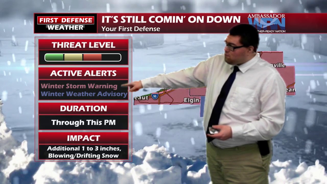
Any additional snowfall today will be light; possibly 1 to 3 inches at most and that will be about it.

The cold weather is here to stay pretty much over the next several days. It looks like we’ll get back to a near-average pattern next week as it make it back into the 30s with a limited chance of snow Tuesday and Wednesday.

WNYNewsNow is a proud Ambassador for the NOAA Weather-Ready Nation program.


Leave a Reply